Distance to Portal, Arizona

Calculating Your Route
Just a moment while we process your request...
Location Information
-
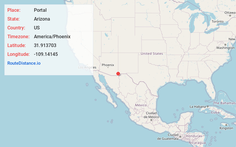
Full AddressPortal, AZ 85632
-
Coordinates31.9137028, -109.1414495
-
LocationPortal , Arizona , US
-
TimezoneAmerica/Phoenix
-
Current Local Time12:55:30 PM America/PhoenixThursday, May 22, 2025
-
Page Views0
About Portal
Portal is an unincorporated community in Cochise County, Arizona, United States. It lies 25 miles south-southeast of San Simon and at the mouth of Cave Creek Canyon on the east side of the Chiricahua Mountains. Often called the Yosemite of Arizona, the rock walled canyon is composed of fused volcanic tuff.


Nearby Places
Found 10 places within 50 miles

Cotton City
19.5 mi
31.4 km
Cotton City, NM 88020
Get directions

Roadforks
24.4 mi
39.3 km
Roadforks, NM 88020
Get directions

San Simon
25.0 mi
40.2 km
San Simon, AZ 85632
Get directions

Sunizona
30.3 mi
48.8 km
Sunizona, AZ 85625
Get directions
Windmill
30.6 mi
49.2 km
Windmill, NM 88020
Get directions

Bowie
34.9 mi
56.2 km
Bowie, AZ 85605
Get directions
Elfrida
35.7 mi
57.5 km
Elfrida, AZ 85610
Get directions

McNeal
37.9 mi
61.0 km
McNeal, AZ 85617
Get directions

Lordsburg
39.4 mi
63.4 km
Lordsburg, NM 88045
Get directions
Glen Acres
40.4 mi
65.0 km
Glen Acres, NM 88045
Get directions
Location Links
Local Weather
Weather Information
Coming soon!
Location Map
Static map view of Portal, Arizona
Browse Places by Distance
Places within specific distances from Portal
Short Distances
Long Distances
Click any distance to see all places within that range from Portal. Distances shown in miles (1 mile ≈ 1.61 kilometers).