Distance to Porterfield Ledge, Maine

Calculating Your Route
Just a moment while we process your request...
Location Information
-
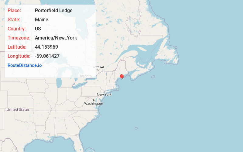
Full AddressPorterfield Ledge, Rockport, ME
-
Coordinates44.1539686, -69.0614267
-
LocationRockport , Maine , US
-
TimezoneAmerica/New_York
-
Current Local Time12:19:09 AM America/New_YorkThursday, June 19, 2025
-
Page Views0
Nearby Places
Found 10 places within 50 miles

Rockport
2.7 mi
4.3 km
Rockport, ME
Get directions

West Penobscot Bay
3.8 mi
6.1 km
West Penobscot Bay, Maine
Get directions

Camden
3.9 mi
6.3 km
Camden, ME
Get directions

Rockland
4.2 mi
6.8 km
Rockland, ME
Get directions

Owls Head
5.0 mi
8.0 km
Owls Head, ME
Get directions

South Thomaston
7.8 mi
12.6 km
South Thomaston, ME
Get directions

Thomaston
7.9 mi
12.7 km
Thomaston, ME
Get directions

Hope
9.0 mi
14.5 km
Hope, ME
Get directions

Lincolnville
9.2 mi
14.8 km
Lincolnville, ME 04849
Get directions

North Haven
9.3 mi
15.0 km
North Haven, ME
Get directions
Location Links
Local Weather
Weather Information
Coming soon!
Location Map
Static map view of Porterfield Ledge, Maine
Browse Places by Distance
Places within specific distances from Porterfield Ledge
Short Distances
Long Distances
Click any distance to see all places within that range from Porterfield Ledge. Distances shown in miles (1 mile ≈ 1.61 kilometers).