Distance to Portersville, Alabama

Calculating Your Route
Just a moment while we process your request...
Location Information
-
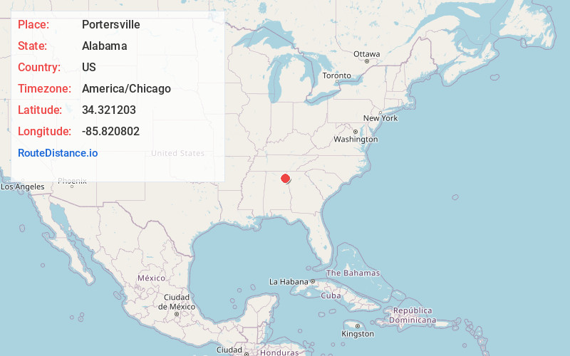
Full AddressPortersville, AL 35961
-
Coordinates34.3212028, -85.8208023
-
LocationAlabama , US
-
TimezoneAmerica/Chicago
-
Current Local Time6:09:08 PM America/ChicagoSunday, June 1, 2025
-
Page Views0
Nearby Places
Found 10 places within 50 miles

Lebanon
3.1 mi
5.0 km
Lebanon, AL 35968
Get directions
Copeland Bridge
4.0 mi
6.4 km
Copeland Bridge, AL 35961
Get directions
Collbran
4.5 mi
7.2 km
Collbran, AL 35967
Get directions

Collinsville
4.6 mi
7.4 km
Collinsville, AL 35961
Get directions
Killian Mill
4.7 mi
7.6 km
Killian Mill, AL 35968
Get directions
Dawson
6.1 mi
9.8 km
Dawson, AL 35963
Get directions

Sand Rock
6.2 mi
10.0 km
Sand Rock, AL
Get directions
Sigsbee
6.5 mi
10.5 km
Sigsbee, AL 35967
Get directions
Hughes Mill
7.1 mi
11.4 km
Hughes Mill, AL 35968
Get directions
Ophir
7.6 mi
12.2 km
Ophir, AL 35963
Get directions
Location Links
Local Weather
Weather Information
Coming soon!
Location Map
Static map view of Portersville, Alabama
Browse Places by Distance
Places within specific distances from Portersville
Short Distances
Long Distances
Click any distance to see all places within that range from Portersville. Distances shown in miles (1 mile ≈ 1.61 kilometers).