Distance to Potter, Kansas

Calculating Your Route
Just a moment while we process your request...
Location Information
-
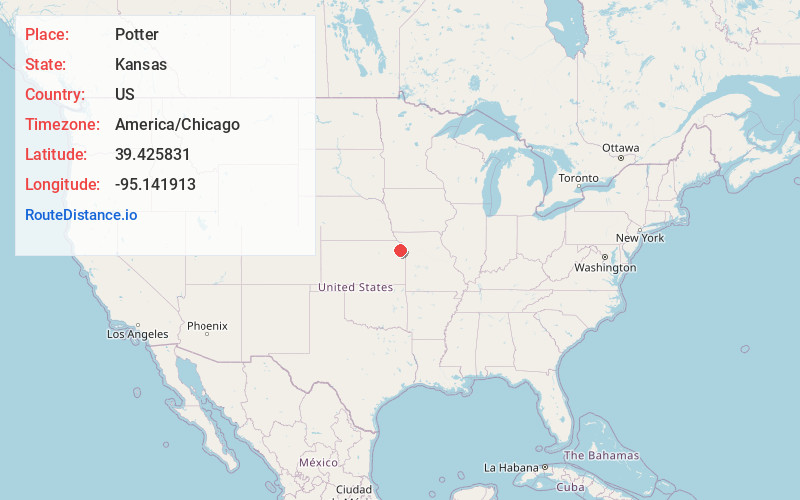
Full AddressPotter, KS 66002
-
Coordinates39.425831, -95.1419128
-
LocationPotter , Kansas , US
-
TimezoneAmerica/Chicago
-
Current Local Time2:05:55 PM America/ChicagoTuesday, June 17, 2025
-
Page Views0
About Potter
Potter is an unincorporated community in Mount Pleasant Township, Atchison County, Kansas, United States. It is located at the intersection of 210th Rd and Rawlins Rd, approximately 9.5 miles south of Atchison.
Nearby Places
Found 10 places within 50 miles

Millwood
3.2 mi
5.1 km
Millwood, Easton Township, KS 66020
Get directions
St Pats
3.7 mi
6.0 km
St Pats, Walnut Township, KS 66002
Get directions
Hawthorne
5.2 mi
8.4 km
Hawthorne, Mt Pleasant Township, KS 66016
Get directions

Easton
5.8 mi
9.3 km
Easton, KS 66020
Get directions
Dalbey
6.0 mi
9.7 km
Dalbey, Walnut Township, KS 66002
Get directions
Port Williams
6.0 mi
9.7 km
Port Williams, KS 66002
Get directions
Cummings
6.1 mi
9.8 km
Cummings, KS 66016
Get directions
Parnell
6.6 mi
10.6 km
Parnell, Mt Pleasant Township, KS 66016
Get directions
Iatan
9.2 mi
14.8 km
Iatan, MO
Get directions
Lewis and Clark Village
9.4 mi
15.1 km
Lewis and Clark Village, MO 64484
Get directions
Location Links
Local Weather
Weather Information
Coming soon!
Location Map
Static map view of Potter, Kansas
Browse Places by Distance
Places within specific distances from Potter
Short Distances
Long Distances
Click any distance to see all places within that range from Potter. Distances shown in miles (1 mile ≈ 1.61 kilometers).