Distance to Poverty, Kentucky

Calculating Your Route
Just a moment while we process your request...
Location Information
-
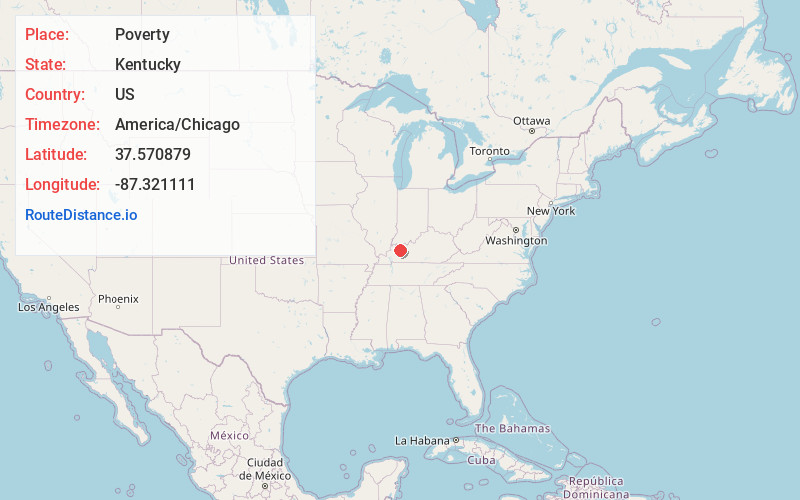
Full AddressPoverty, KY 42327
-
Coordinates37.5708791, -87.321111
-
LocationKentucky , US
-
TimezoneAmerica/Chicago
-
Current Local Time10:18:33 AM America/ChicagoWednesday, June 4, 2025
-
Page Views0
About Poverty
Poverty is an unincorporated community located in McLean County, Kentucky, United States. Poverty was named by William Short, a local physician who strongly disliked his snobbish neighbors. The neighbors had formed a society called "the Social Circle" whose membership conferred a perceived high social status.
Nearby Places
Found 10 places within 50 miles

Lemon
3.2 mi
5.1 km
Lemon, KY 42327
Get directions
Ashbyburg
3.6 mi
5.8 km
Ashbyburg, KY 42456
Get directions

Jewel City
3.6 mi
5.8 km
Jewel City, KY 42456
Get directions

Calhoun
4.1 mi
6.6 km
Calhoun, KY 42327
Get directions
Semiway
8.0 mi
12.9 km
Semiway, KY 42350
Get directions

St Joseph
8.5 mi
13.7 km
St Joseph, KY 42301
Get directions

West Louisville
9.0 mi
14.5 km
West Louisville, KY 42301
Get directions
Moseleyville
9.4 mi
15.1 km
Moseleyville, KY 42301
Get directions
Elmwood
9.8 mi
15.8 km
Elmwood, KY 42456
Get directions

Sacramento
11.1 mi
17.9 km
Sacramento, KY 42372
Get directions
Location Links
Local Weather
Weather Information
Coming soon!
Location Map
Static map view of Poverty, Kentucky
Browse Places by Distance
Places within specific distances from Poverty
Short Distances
Long Distances
Click any distance to see all places within that range from Poverty. Distances shown in miles (1 mile ≈ 1.61 kilometers).