Distance to Powell, Missouri

Calculating Your Route
Just a moment while we process your request...
Location Information
-
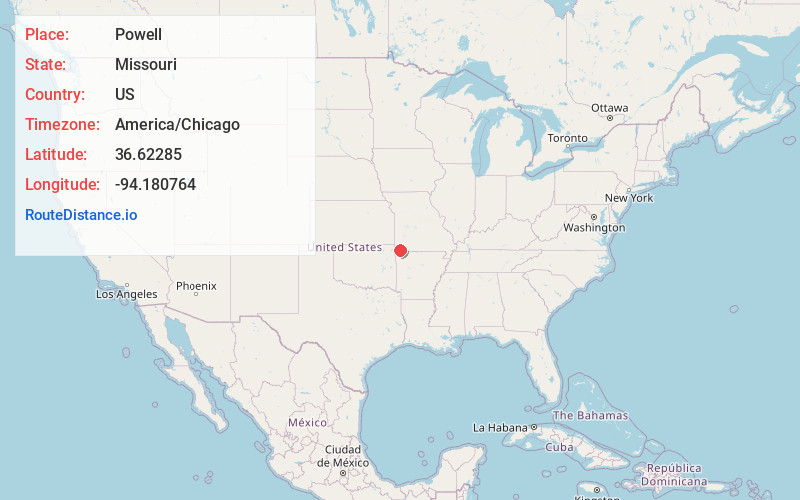
Full AddressPowell, MO 65730
-
Coordinates36.6228496, -94.1807643
-
LocationPowell , Missouri , US
-
TimezoneAmerica/Chicago
-
Current Local Time6:51:08 AM America/ChicagoSaturday, June 7, 2025
-
Page Views0
About Powell
Powell is an unincorporated community in eastern McDonald County, Missouri, United States. It is located on Missouri Supplemental Route E, approximately ten miles east of Pineville. Powell is located on Big Sugar Creek. The community includes some homes, a couple of businesses, and a post office.


Nearby Places
Found 10 places within 50 miles

McCullough Ford
4.0 mi
6.4 km
McCullough Ford, Center Township, MO 65730
Get directions
Meadors Ford
6.4 mi
10.3 km
Meadors Ford, Pineville North Township, MO 64856
Get directions
Longview
7.0 mi
11.3 km
Longview, Elk Horn Township, MO 64861
Get directions
Bethlehem
7.3 mi
11.7 km
Bethlehem, Richwood Township, MO 64861
Get directions
Griffin Ford
7.9 mi
12.7 km
Griffin Ford, White Rock Township, MO 64856
Get directions

Jane
8.7 mi
14.0 km
Jane, MO
Get directions
Jacket
8.8 mi
14.2 km
Jacket, Mountain Township, MO 64856
Get directions
Crag O Lea
9.6 mi
15.4 km
Crag O Lea, Pineville North Township, MO 64856
Get directions

Stella
9.6 mi
15.4 km
Stella, MO 64867
Get directions

Rocky Comfort
9.9 mi
15.9 km
Rocky Comfort, MO 64861
Get directions
Location Links
Local Weather
Weather Information
Coming soon!
Location Map
Static map view of Powell, Missouri
Browse Places by Distance
Places within specific distances from Powell
Short Distances
Long Distances
Click any distance to see all places within that range from Powell. Distances shown in miles (1 mile ≈ 1.61 kilometers).