Distance to Powell Point, Texas

Calculating Your Route
Just a moment while we process your request...
Location Information
-
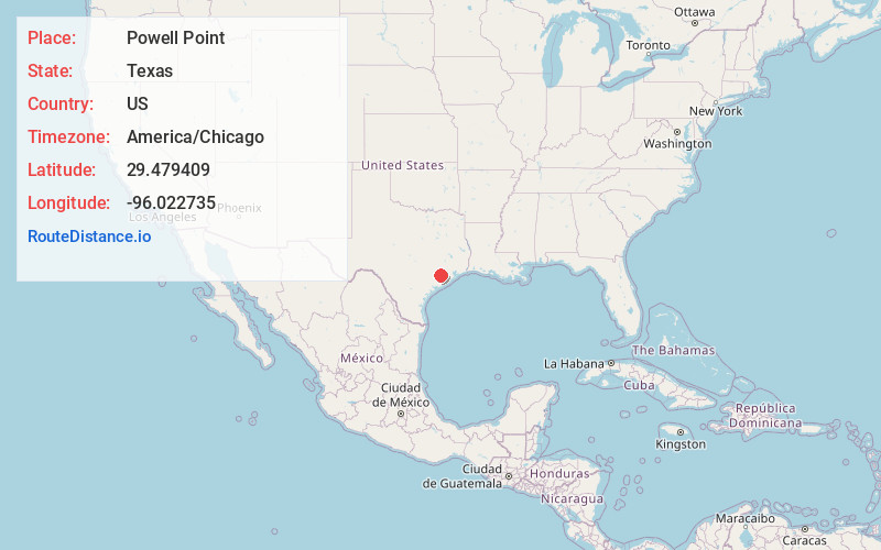
Full AddressPowell Point, TX 77417
-
Coordinates29.4794094, -96.0227349
-
LocationPowell Point , Texas , US
-
TimezoneAmerica/Chicago
-
Current Local Time12:45:58 AM America/ChicagoFriday, June 20, 2025
-
Page Views0
About Powell Point
Powell Point is an unincorporated community in Fort Bend County, Texas, United States. The community is located within the Greater Houston metropolitan area.
Nearby Places
Found 10 places within 50 miles

Kendleton
2.6 mi
4.2 km
Kendleton, TX
Get directions

East Bernard
4.6 mi
7.4 km
East Bernard, TX 77435
Get directions

Tavener
4.7 mi
7.6 km
Tavener, TX 77435
Get directions

Beasley
6.4 mi
10.3 km
Beasley, TX 77417
Get directions

Hungerford
6.4 mi
10.3 km
Hungerford, TX
Get directions

Orchard
9.2 mi
14.8 km
Orchard, TX
Get directions

Wallis
10.8 mi
17.4 km
Wallis, TX 77485
Get directions
Dinsmore
11.3 mi
18.2 km
Dinsmore, TX 77488
Get directions
Mchattie
11.4 mi
18.3 km
Mchattie, Rosenberg, TX 77471
Get directions
Burr
11.9 mi
19.2 km
Burr, TX 77488
Get directions
Location Links
Local Weather
Weather Information
Coming soon!
Location Map
Static map view of Powell Point, Texas
Browse Places by Distance
Places within specific distances from Powell Point
Short Distances
Long Distances
Click any distance to see all places within that range from Powell Point. Distances shown in miles (1 mile ≈ 1.61 kilometers).