Distance to Powersville, Iowa

Calculating Your Route
Just a moment while we process your request...
Location Information
-
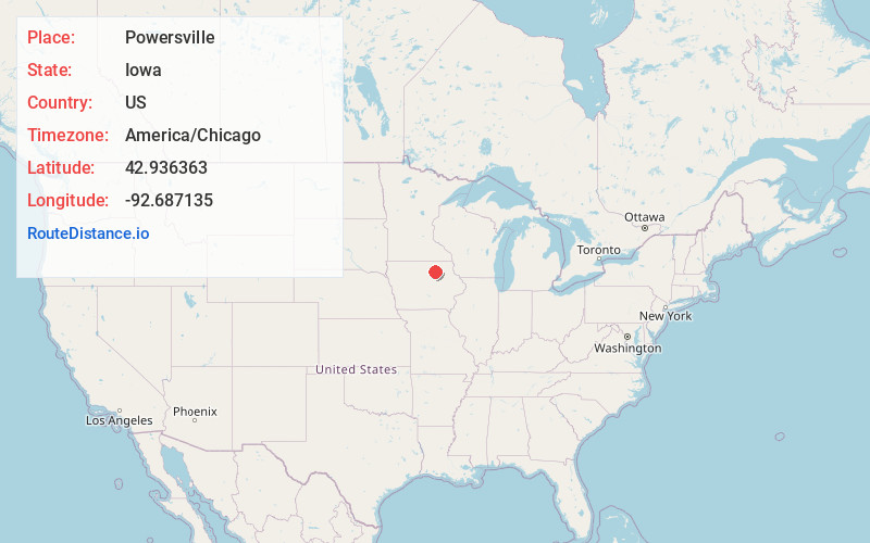
Full AddressPowersville, IA 50636
-
Coordinates42.9363626, -92.6871345
-
LocationPowersville , Iowa , US
-
TimezoneAmerica/Chicago
-
Current Local Time3:18:33 PM America/ChicagoSunday, June 15, 2025
-
Page Views0
About Powersville
Powersville is a rural community in Floyd County, Iowa, United States. It consists of a small granary and several houses.
Nearby Places
Found 10 places within 50 miles

Greene
6.5 mi
10.5 km
Greene, IA 50636
Get directions

Nashua
7.6 mi
12.2 km
Nashua, IA 50658
Get directions

Charles City
9.0 mi
14.5 km
Charles City, IA 50616
Get directions

Marble Rock
9.2 mi
14.8 km
Marble Rock, IA 50653
Get directions
Aureola
9.9 mi
15.9 km
Aureola, IA 50653
Get directions
Plainfield
10.0 mi
16.1 km
Plainfield, IA 50666
Get directions
Clarksville
10.5 mi
16.9 km
Clarksville, IA 50619
Get directions
Vilmar
10.9 mi
17.5 km
Vilmar, IA 50636
Get directions
Bassett
12.2 mi
19.6 km
Bassett, IA 50645
Get directions

Floyd
13.5 mi
21.7 km
Floyd, IA 50435
Get directions
Location Links
Local Weather
Weather Information
Coming soon!
Location Map
Static map view of Powersville, Iowa
Browse Places by Distance
Places within specific distances from Powersville
Short Distances
Long Distances
Click any distance to see all places within that range from Powersville. Distances shown in miles (1 mile ≈ 1.61 kilometers).