Distance to Pregnall, South Carolina

Calculating Your Route
Just a moment while we process your request...
Location Information
-
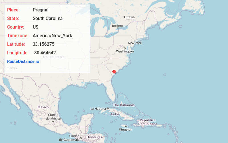
Full AddressPregnall, SC 29437
-
Coordinates33.1562753, -80.4645424
-
LocationSouth Carolina , US
-
TimezoneAmerica/New_York
-
Current Local Time11:46:44 PM America/New_YorkThursday, June 19, 2025
-
Page Views0
Nearby Places
Found 10 places within 50 miles

Harleyville
4.1 mi
6.6 km
Harleyville, SC 29448
Get directions
Dorchester County
4.7 mi
7.6 km
Dorchester County, SC
Get directions

St George
6.7 mi
10.8 km
St George, SC 29477
Get directions

Holly Ridge
7.7 mi
12.4 km
Holly Ridge, SC 29435
Get directions

Grover
8.3 mi
13.4 km
Grover, SC 29477
Get directions
Badham
8.9 mi
14.3 km
Badham, SC 29471
Get directions
Pringletown
9.2 mi
14.8 km
Pringletown, SC 29472
Get directions

Ridgeville
9.6 mi
15.4 km
Ridgeville, SC 29472
Get directions
Bowyer
10.7 mi
17.2 km
Bowyer, SC 29059
Get directions

Sandridge
11.0 mi
17.7 km
Sandridge, SC 29059
Get directions
Location Links
Local Weather
Weather Information
Coming soon!
Location Map
Static map view of Pregnall, South Carolina
Browse Places by Distance
Places within specific distances from Pregnall
Short Distances
Long Distances
Click any distance to see all places within that range from Pregnall. Distances shown in miles (1 mile ≈ 1.61 kilometers).