Distance to Prince of Wales Island, Alaska

Calculating Your Route
Just a moment while we process your request...
Location Information
-
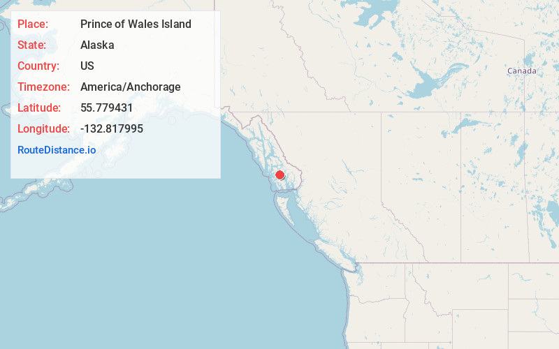
Full AddressPrince of Wales Island, Alaska
-
Coordinates55.7794311, -132.8179953
-
LocationAlaska , US
-
TimezoneAmerica/Anchorage
-
Current Local Time10:23:55 PM America/AnchorageThursday, June 19, 2025
-
Page Views0
About Prince of Wales Island
Heavily wooded island with waterways for sport fishing, plus hiking, camping & natural scenery.


Nearby Places
Found 10 places within 50 miles

Thorne Bay
13.1 mi
21.1 km
Thorne Bay, AK
Get directions

Salt Chuck
14.8 mi
23.8 km
Salt Chuck, AK
Get directions

Coffman Cove
16.1 mi
25.9 km
Coffman Cove, AK
Get directions

Naukati Bay
16.2 mi
26.1 km
Naukati Bay, AK 99921
Get directions

Klawock
18.8 mi
30.3 km
Klawock, AK 99925
Get directions

Hollis
21.4 mi
34.4 km
Hollis, AK 99921
Get directions

Kasaan
23.2 mi
37.3 km
Kasaan, AK
Get directions

Craig
24.3 mi
39.1 km
Craig, AK
Get directions

Whale Pass
26.3 mi
42.3 km
Whale Pass, AK
Get directions
Tokeen
29.0 mi
46.7 km
Tokeen, AK 99921
Get directions
Location Links
Local Weather
Weather Information
Coming soon!
Location Map
Static map view of Prince of Wales Island, Alaska
Browse Places by Distance
Places within specific distances from Prince of Wales Island
Short Distances
Long Distances
Click any distance to see all places within that range from Prince of Wales Island. Distances shown in miles (1 mile ≈ 1.61 kilometers).