Distance to Salt Chuck, Alaska

Calculating Your Route
Just a moment while we process your request...
Location Information
-
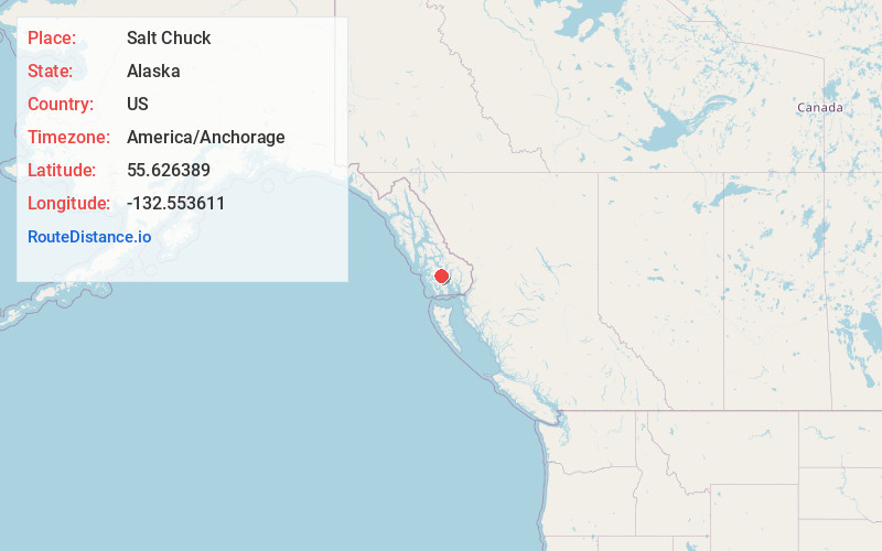
Full AddressSalt Chuck, AK
-
Coordinates55.6263889, -132.5536111
-
LocationSalt Chuck , Alaska , US
-
TimezoneAmerica/Anchorage
-
Current Local Time6:53:31 AM America/AnchorageSaturday, May 24, 2025
-
Page Views0
Nearby Places
Found 10 places within 50 miles

Thorne Bay
4.3 mi
6.9 km
Thorne Bay, AK
Get directions

Kasaan
8.4 mi
13.5 km
Kasaan, AK
Get directions

Hollis
10.2 mi
16.4 km
Hollis, AK 99921
Get directions

Klawock
21.3 mi
34.3 km
Klawock, AK 99925
Get directions

Craig
25.0 mi
40.2 km
Craig, AK
Get directions

Coffman Cove
28.6 mi
46.0 km
Coffman Cove, AK
Get directions

Naukati Bay
30.3 mi
48.8 km
Naukati Bay, AK 99921
Get directions

Hydaburg
30.9 mi
49.7 km
Hydaburg, AK 99922
Get directions

Loring
35.8 mi
57.6 km
Loring, AK 99901
Get directions

Ward Cove
35.9 mi
57.8 km
Ward Cove, AK 99901
Get directions
Location Links
Local Weather
Weather Information
Coming soon!
Location Map
Static map view of Salt Chuck, Alaska
Browse Places by Distance
Places within specific distances from Salt Chuck
Short Distances
Long Distances
Click any distance to see all places within that range from Salt Chuck. Distances shown in miles (1 mile ≈ 1.61 kilometers).