Distance to Princeton, Alabama

Calculating Your Route
Just a moment while we process your request...
Location Information
-
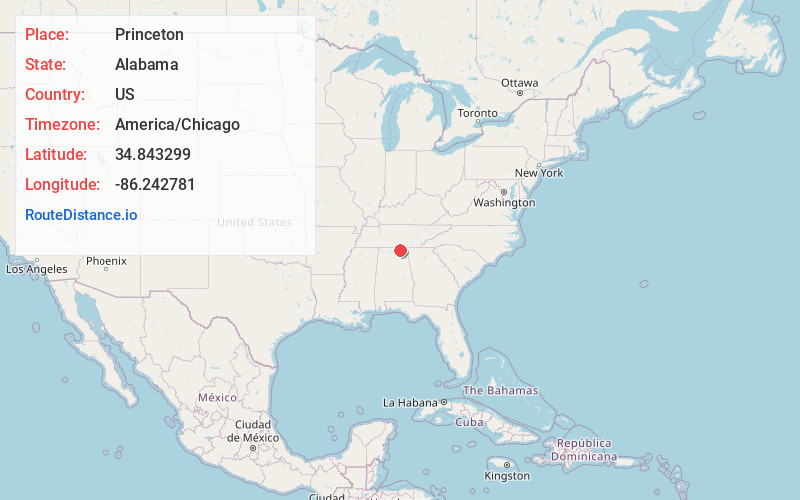
Full AddressPrinceton, AL
-
Coordinates34.843299, -86.2427806
-
LocationPrinceton , Alabama , US
-
TimezoneAmerica/Chicago
-
Current Local Time6:46:08 AM America/ChicagoFriday, June 13, 2025
-
Page Views0
About Princeton
Princeton is an unincorporated community in Jackson County, Alabama, United States. Princeton is located on Alabama State Route 65 in the upper Paint Rock Valley. Skyline lies just over 7 miles miles to the east atop the Cumberland Plateau, and the Alabama–Tennessee state line passes several miles to the north.
Nearby Places
Found 10 places within 50 miles

Baileytown
4.3 mi
6.9 km
Baileytown, AL 35768
Get directions
Little Nashville
6.3 mi
10.1 km
Little Nashville, AL 35774
Get directions
Trenton
6.8 mi
10.9 km
Trenton, AL 35774
Get directions

Skyline
7.5 mi
12.1 km
Skyline, AL
Get directions
Pleasant Groves
7.8 mi
12.6 km
Pleasant Groves, AL 35776
Get directions
Wininger
8.4 mi
13.5 km
Wininger, AL 35776
Get directions
Garth
8.8 mi
14.2 km
Garth, AL 35764
Get directions

Hytop
10.1 mi
16.3 km
Hytop, AL 35768
Get directions
Maynard Cove
10.2 mi
16.4 km
Maynard Cove, AL 35768
Get directions

New Market
11.5 mi
18.5 km
New Market, AL 35761
Get directions
Location Links
Local Weather
Weather Information
Coming soon!
Location Map
Static map view of Princeton, Alabama
Browse Places by Distance
Places within specific distances from Princeton
Short Distances
Long Distances
Click any distance to see all places within that range from Princeton. Distances shown in miles (1 mile ≈ 1.61 kilometers).