Distance to Trenton, Alabama

Calculating Your Route
Just a moment while we process your request...
Location Information
-
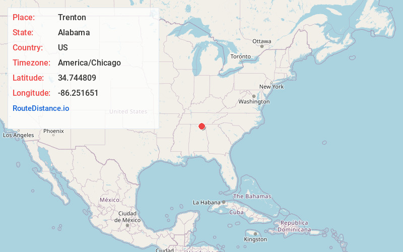
Full AddressTrenton, AL 35774
-
Coordinates34.7448092, -86.2516512
-
LocationTrenton , Alabama , US
-
TimezoneAmerica/Chicago
-
Current Local Time2:47:18 AM America/ChicagoThursday, June 19, 2025
-
Page Views0
About Trenton
Trenton is an unincorporated community in Jackson County, Alabama, United States. It is located on Alabama State Route 65, 7.7 miles east-northeast of Gurley in the Paint Rock Valley. Trenton had a post office until it closed on November 5, 2011; it still has its own ZIP code, 35774.
Nearby Places
Found 10 places within 50 miles

Pleasant Groves
2.3 mi
3.7 km
Pleasant Groves, AL 35776
Get directions

Paint Rock
7.3 mi
11.7 km
Paint Rock, AL
Get directions

Gurley
7.7 mi
12.4 km
Gurley, AL
Get directions
Woodville
8.2 mi
13.2 km
Woodville, AL 35776
Get directions

Skyline
9.1 mi
14.6 km
Skyline, AL
Get directions

Scottsboro
13.3 mi
21.4 km
Scottsboro, AL
Get directions

Grant
14.9 mi
24.0 km
Grant, AL 35747
Get directions

Hytop
15.0 mi
24.1 km
Hytop, AL 35768
Get directions

New Market
15.2 mi
24.5 km
New Market, AL 35761
Get directions

Owens Cross Roads
16.0 mi
25.7 km
Owens Cross Roads, AL
Get directions
Location Links
Local Weather
Weather Information
Coming soon!
Location Map
Static map view of Trenton, Alabama
Browse Places by Distance
Places within specific distances from Trenton
Short Distances
Long Distances
Click any distance to see all places within that range from Trenton. Distances shown in miles (1 mile ≈ 1.61 kilometers).