Distance to Provincetown, Massachusetts

Calculating Your Route
Just a moment while we process your request...
Location Information
-
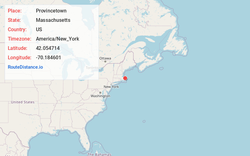
Full AddressProvincetown, MA
-
Coordinates42.0547136, -70.1846012
-
LocationProvincetown , Massachusetts , US
-
TimezoneAmerica/New_York
-
Current Local Time8:11:37 AM America/New_YorkSaturday, May 31, 2025
-
Website
-
Page Views0
About Provincetown
Provincetown is at the northern tip of Cape Cod, Massachusetts. The seaside town is on the site of the Mayflower’s landing in 1620, commemorated by the towering Pilgrim Monument and neighboring Provincetown Museum. P-town is known as a longtime haven for artists, lesbians and gay men. Numerous galleries plus restaurants, nightclubs, cabarets and specialty shops are clustered on and around lively Commercial Street.


Nearby Places
Found 10 places within 50 miles

Wellfleet
11.3 mi
18.2 km
Wellfleet, MA
Get directions

Eastham
17.0 mi
27.4 km
Eastham, MA
Get directions

Orleans
20.9 mi
33.6 km
Orleans, MA
Get directions

Brewster
21.0 mi
33.8 km
Brewster, MA
Get directions

Dennis
22.0 mi
35.4 km
Dennis, MA
Get directions

Duxbury
25.0 mi
40.2 km
Duxbury, MA
Get directions

Plymouth
25.7 mi
41.4 km
Plymouth, MA
Get directions

Sandwich
25.8 mi
41.5 km
Sandwich, MA
Get directions

Harwich
26.0 mi
41.8 km
Harwich, MA
Get directions

Marshfield
27.1 mi
43.6 km
Marshfield, MA
Get directions
Location Links
Local Weather
Weather Information
Coming soon!
Location Map
Static map view of Provincetown, Massachusetts
Browse Places by Distance
Places within specific distances from Provincetown
Short Distances
Long Distances
Click any distance to see all places within that range from Provincetown. Distances shown in miles (1 mile ≈ 1.61 kilometers).