Distance to Puerto de Anapra, Chihuahua

Calculating Your Route
Just a moment while we process your request...
Location Information
-
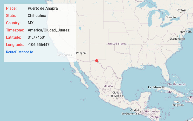
Full AddressPuerto de Anapra, Ciudad Juárez, Chihuahua, Mexico
-
Coordinates31.7745011, -106.556447
-
NeighborhoodPuerto de Anapra
-
LocationCiudad Juárez , Chihuahua , MX
-
TimezoneAmerica/Ciudad_Juarez
-
Current Local Time10:36:08 AM America/Ciudad_JuarezTuesday, June 3, 2025
-
Page Views0
About Puerto de Anapra
Puerto de Anapra, is a colonia in the city of Ciudad Juárez in the Mexican state of Chihuahua. Anapra is west of the Rio Grande, on the border of the U.S. state of New Mexico. It is one of the poorest communities within the city.


Nearby Places
Found 10 places within 50 miles

Sunland Park
2.1 mi
3.4 km
Sunland Park, NM
Get directions

El Paso
4.3 mi
6.9 km
El Paso, TX
Get directions

Santa Teresa
7.4 mi
11.9 km
Santa Teresa, NM 88008
Get directions

Fort Bliss
8.4 mi
13.5 km
Fort Bliss, TX
Get directions

Prado Verde
8.6 mi
13.8 km
Prado Verde, TX 79932
Get directions

Canutillo
9.8 mi
15.8 km
Canutillo, TX
Get directions
Vinton
12.5 mi
20.1 km
Vinton, TX
Get directions
Westway
12.8 mi
20.6 km
Westway, TX 79835
Get directions
La Union
13.6 mi
21.9 km
La Union, NM 88021
Get directions
Hacienda Acres
15.8 mi
25.4 km
Hacienda Acres, NM 88021
Get directions
Location Links
Local Weather
Weather Information
Coming soon!
Location Map
Static map view of Puerto de Anapra, Chihuahua
Browse Places by Distance
Places within specific distances from Puerto de Anapra
Short Distances
Long Distances
Click any distance to see all places within that range from Puerto de Anapra. Distances shown in miles (1 mile ≈ 1.61 kilometers).