Distance to Punaluu, Hawaii

Calculating Your Route
Just a moment while we process your request...
Location Information
-
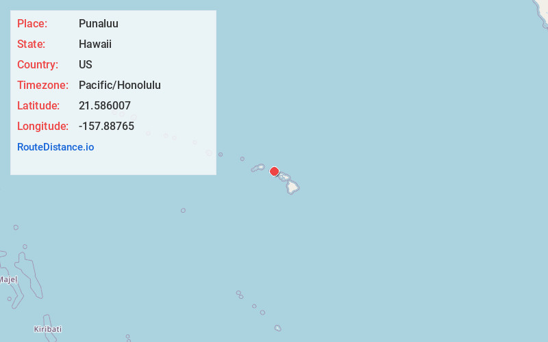
Full AddressPunaluu, HI 96717
-
Coordinates21.5860072, -157.8876502
-
LocationPunaluu , Hawaii , US
-
TimezonePacific/Honolulu
-
Current Local Time11:29:48 PM Pacific/HonoluluTuesday, June 17, 2025
-
Page Views0
About Punaluu
Punaluʻu is a census-designated place and rural community in the Koʻolauloa District on the island of Oʻahu, City & County of Honolulu, Hawaii, United States. In Hawaiian, punaluʻu means "coral dived for", or in the case of the fishpond once located here, possibly "spring dived for".


Nearby Places
Found 10 places within 50 miles

Hauula
2.1 mi
3.4 km
Hauula, HI
Get directions

Kaaawa
3.2 mi
5.1 km
Kaaawa, HI 96730
Get directions

Laie
4.7 mi
7.6 km
Laie, HI 96762
Get directions

Kahuku
7.3 mi
11.7 km
Kahuku, HI 96731
Get directions

Kahaluu
9.9 mi
15.9 km
Kahaluu, HI 96744
Get directions

Whitmore Village
10.2 mi
16.4 km
Whitmore Village, HI 96786
Get directions

Ahuimanu
10.9 mi
17.5 km
Ahuimanu, HI 96744
Get directions

Wahiawa
11.1 mi
17.9 km
Wahiawa, HI 96786
Get directions

Wheeler Army Airfield
12.0 mi
19.3 km
Wheeler Army Airfield, HI 96786
Get directions

Pupukea
12.0 mi
19.3 km
Pupukea, HI 96712
Get directions
Location Links
Local Weather
Weather Information
Coming soon!
Location Map
Static map view of Punaluu, Hawaii
Browse Places by Distance
Places within specific distances from Punaluu
Short Distances
Long Distances
Click any distance to see all places within that range from Punaluu. Distances shown in miles (1 mile ≈ 1.61 kilometers).