Distance to Purdy, Washington

Calculating Your Route
Just a moment while we process your request...
Location Information
-
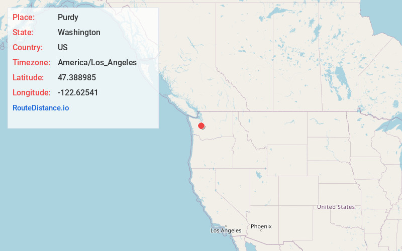
Full AddressPurdy, WA 98332
-
Coordinates47.3889853, -122.6254102
-
LocationPurdy , Washington , US
-
TimezoneAmerica/Los_Angeles
-
Current Local Time10:20:50 AM America/Los_AngelesFriday, June 20, 2025
-
Page Views0
About Purdy
Purdy is a small unincorporated community and census-designated place north of the city of Gig Harbor, and at the junction of Washington State Routes 16 and 302 on the northern boundary of Pierce County, Washington.


Nearby Places
Found 10 places within 50 miles

Wauna
1.1 mi
1.8 km
Wauna, WA 98329
Get directions

Canterwood
1.9 mi
3.1 km
Canterwood, WA 98332
Get directions

Burley
2.0 mi
3.2 km
Burley, WA
Get directions
Maplewood
3.4 mi
5.5 km
Maplewood, WA 98332
Get directions

Rosedale
4.2 mi
6.8 km
Rosedale, WA
Get directions

Gig Harbor
4.6 mi
7.4 km
Gig Harbor, WA
Get directions
Artondale
6.2 mi
10.0 km
Artondale, WA 98335
Get directions
Bethel
7.3 mi
11.7 km
Bethel, WA 98367
Get directions

Wollochet
8.5 mi
13.7 km
Wollochet, WA 98335
Get directions

Vashon
8.7 mi
14.0 km
Vashon, WA
Get directions
Location Links
Local Weather
Weather Information
Coming soon!
Location Map
Static map view of Purdy, Washington
Browse Places by Distance
Places within specific distances from Purdy
Short Distances
Long Distances
Click any distance to see all places within that range from Purdy. Distances shown in miles (1 mile ≈ 1.61 kilometers).