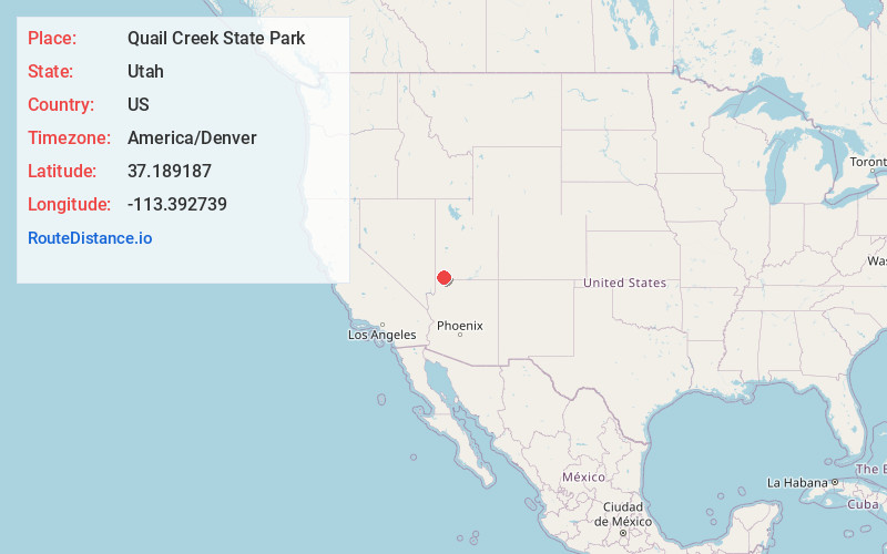
Distance to Quail Creek State Park, Utah

Calculating Your Route
Just a moment while we process your request...
Location Information
-
Full AddressQuail Creek State Park, 472 5300 W, Hurricane, UT 84737
-
Coordinates37.1891865, -113.3927389
-
Street472 5300 W
-
LocationHurricane , Utah , US
-
TimezoneAmerica/Denver
-
Current Local Time5:55:31 PM America/DenverThursday, July 3, 2025
-
Page Views0
About Quail Creek State Park
This park has a recreational reservoir for boating, fishing, swimming, plus picnic & camping areas.


Nearby Places
Found 10 places within 50 miles

Leeds
3.9 mi
6.3 km
Leeds, UT
Get directions

Hurricane
5.7 mi
9.2 km
Hurricane, UT 84737
Get directions

La Verkin
6.7 mi
10.8 km
La Verkin, UT 84745
Get directions

Toquerville
7.4 mi
11.9 km
Toquerville, UT
Get directions

Washington
7.5 mi
12.1 km
Washington, UT
Get directions

Virgin
11.3 mi
18.2 km
Virgin, UT
Get directions

St. George
11.6 mi
18.7 km
St. George, UT
Get directions

Pintura
12.3 mi
19.8 km
Pintura, UT 84774
Get directions

Santa Clara
14.9 mi
24.0 km
Santa Clara, UT
Get directions

Pine Valley
15.5 mi
24.9 km
Pine Valley, UT 84781
Get directions
Location Links
Local Weather
Weather Information
Coming soon!
Location Map
Static map view of Quail Creek State Park, Utah
Browse Places by Distance
Places within specific distances from Quail Creek State Park
Short Distances
Long Distances
Click any distance to see all places within that range from Quail Creek State Park. Distances shown in miles (1 mile ≈ 1.61 kilometers).