Distance to Radley, Kansas

Calculating Your Route
Just a moment while we process your request...
Location Information
-
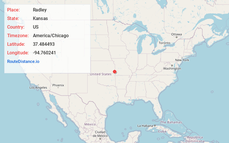
Full AddressRadley, KS
-
Coordinates37.4844926, -94.7602411
-
LocationRadley , Kansas , US
-
TimezoneAmerica/Chicago
-
Current Local Time1:27:35 PM America/ChicagoWednesday, May 21, 2025
-
Page Views0
About Radley
Radley is a census-designated place in Crawford County, Kansas, United States. As of the 2020 census, the population was 105.

Nearby Places
Found 10 places within 50 miles

Franklin
4.1 mi
6.6 km
Franklin, KS
Get directions

Frontenac
4.4 mi
7.1 km
Frontenac, KS
Get directions

Girard
4.6 mi
7.4 km
Girard, KS 66743
Get directions

Arma
5.3 mi
8.5 km
Arma, KS 66712
Get directions

Pittsburg
5.9 mi
9.5 km
Pittsburg, KS 66762
Get directions

Mulberry
9.1 mi
14.6 km
Mulberry, KS 66756
Get directions

Mindenmines
9.4 mi
15.1 km
Mindenmines, MO 64769
Get directions

Cherokee
9.9 mi
15.9 km
Cherokee, KS 66724
Get directions

Weir
12.1 mi
19.5 km
Weir, KS 66781
Get directions

Arcadia
13.2 mi
21.2 km
Arcadia, KS 66711
Get directions
Location Links
Local Weather
Weather Information
Coming soon!
Location Map
Static map view of Radley, Kansas
Browse Places by Distance
Places within specific distances from Radley
Short Distances
Long Distances
Click any distance to see all places within that range from Radley. Distances shown in miles (1 mile ≈ 1.61 kilometers).