Distance to Ragtown, Arkansas

Calculating Your Route
Just a moment while we process your request...
Location Information
-
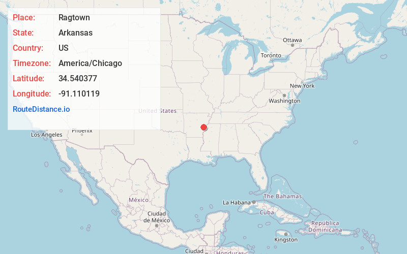
Full AddressRagtown, AR 72069
-
Coordinates34.5403768, -91.1101192
-
LocationArkansas , US
-
TimezoneAmerica/Chicago
-
Current Local Time8:18:22 AM America/ChicagoMonday, June 23, 2025
-
Page Views0
Nearby Places
Found 10 places within 50 miles

Deep Elm
3.6 mi
5.8 km
Deep Elm, AR 72069
Get directions

Holly Grove
6.4 mi
10.3 km
Holly Grove, AR 72069
Get directions
Turner
6.8 mi
10.9 km
Turner, AR 72383
Get directions

Cross Roads
8.2 mi
13.2 km
Cross Roads, AR 72069
Get directions
Cypert
9.4 mi
15.1 km
Cypert, AR 72366
Get directions
Indian Bay
11.2 mi
18.0 km
Indian Bay, AR 72069
Get directions
Marvell
11.3 mi
18.2 km
Marvell, AR 72366
Get directions

St Charles
11.6 mi
18.7 km
St Charles, AR
Get directions
Kingtown
12.8 mi
20.6 km
Kingtown, AR 72366
Get directions
Monroe
13.4 mi
21.6 km
Monroe, AR
Get directions
Location Links
Local Weather
Weather Information
Coming soon!
Location Map
Static map view of Ragtown, Arkansas
Browse Places by Distance
Places within specific distances from Ragtown
Short Distances
Long Distances
Click any distance to see all places within that range from Ragtown. Distances shown in miles (1 mile ≈ 1.61 kilometers).