Distance to Ramona Falls, Oregon

Calculating Your Route
Just a moment while we process your request...
Location Information
-
Full AddressRamona Falls, Oregon 97041
-
Coordinates45.3798403, -121.7759107
-
LocationOregon , US
-
TimezoneAmerica/Los_Angeles
-
Current Local Time4:30:16 AM America/Los_AngelesMonday, June 16, 2025
-
Page Views0
About Ramona Falls
Cascading waterfall in a forest setting reached by moderate hikes, including a short river crossing.


Nearby Places
Found 10 places within 50 miles

Mt Hood
3.9 mi
6.3 km
Mt Hood, Oregon 97041
Get directions

Government Camp
5.3 mi
8.5 km
Government Camp, OR 97028
Get directions

Rhododendron
7.4 mi
11.9 km
Rhododendron, OR 97049
Get directions

Lost Lake
7.9 mi
12.7 km
Lost Lake, Oregon 97014
Get directions

Barlow Pass
8.0 mi
12.9 km
Barlow Pass, Oregon 97028
Get directions

Lost Lake Resort
8.4 mi
13.5 km
Lost Lake Resort, OR 97014
Get directions

Mt Hood National Forest
9.0 mi
14.5 km
Mt Hood National Forest, Oregon 97028
Get directions

Mt Hood Village
9.8 mi
15.8 km
Mt Hood Village, OR
Get directions

Parkdale
13.0 mi
20.9 km
Parkdale, OR 97041
Get directions

Station Spring
14.4 mi
23.2 km
Station Spring, Oregon 97021
Get directions
Location Links
Local Weather
Weather Information
Coming soon!
Location Map
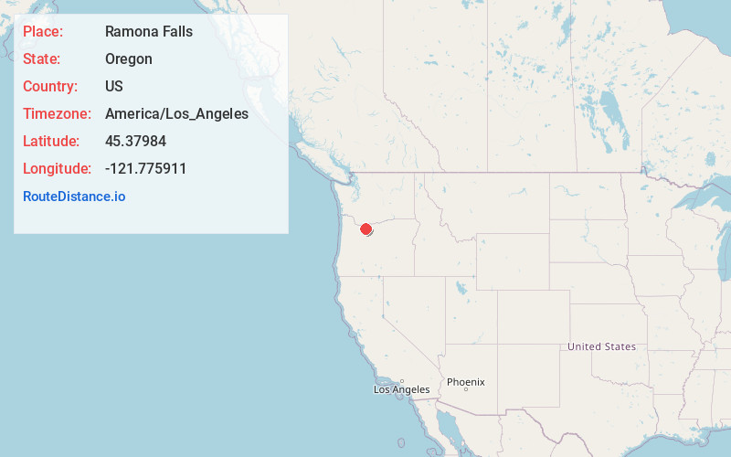
Static map view of Ramona Falls, Oregon
Browse Places by Distance
Places within specific distances from Ramona Falls
Short Distances
Long Distances
Click any distance to see all places within that range from Ramona Falls. Distances shown in miles (1 mile ≈ 1.61 kilometers).