Distance to Randolph, Kansas

Calculating Your Route
Just a moment while we process your request...
Location Information
-
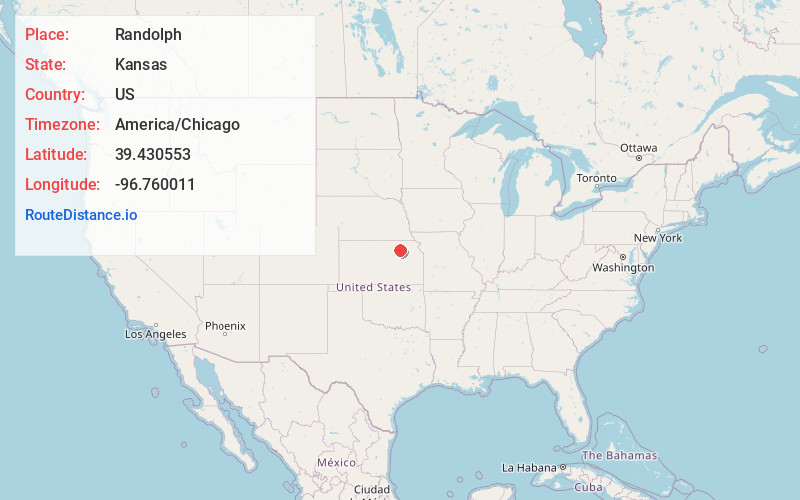
Full AddressRandolph, KS 66554
-
Coordinates39.4305534, -96.7600113
-
LocationRandolph , Kansas , US
-
TimezoneAmerica/Chicago
-
Current Local Time3:48:34 AM America/ChicagoFriday, May 23, 2025
-
Page Views0
About Randolph
Randolph is a city in Riley County, Kansas, United States. As of the 2020 census, the population of the city was 159.

Nearby Places
Found 10 places within 50 miles

Leonardville
7.0 mi
11.3 km
Leonardville, KS 66449
Get directions

Olsburg
7.7 mi
12.4 km
Olsburg, KS 66520
Get directions

Riley
9.9 mi
15.9 km
Riley, KS 66531
Get directions
Keats
14.6 mi
23.5 km
Keats, KS 66503
Get directions

Waterville
18.0 mi
29.0 km
Waterville, KS
Get directions
Blue Rapids
18.2 mi
29.3 km
Blue Rapids, KS 66411
Get directions

Westmoreland
18.7 mi
30.1 km
Westmoreland, KS 66549
Get directions

Milford
19.5 mi
31.4 km
Milford, KS 66514
Get directions

Clay Center
19.8 mi
31.9 km
Clay Center, KS 67432
Get directions

Manhattan
20.0 mi
32.2 km
Manhattan, KS
Get directions
Location Links
Local Weather
Weather Information
Coming soon!
Location Map
Static map view of Randolph, Kansas
Browse Places by Distance
Places within specific distances from Randolph
Short Distances
Long Distances
Click any distance to see all places within that range from Randolph. Distances shown in miles (1 mile ≈ 1.61 kilometers).