Distance to Ray, Ohio

Calculating Your Route
Just a moment while we process your request...
Location Information
-
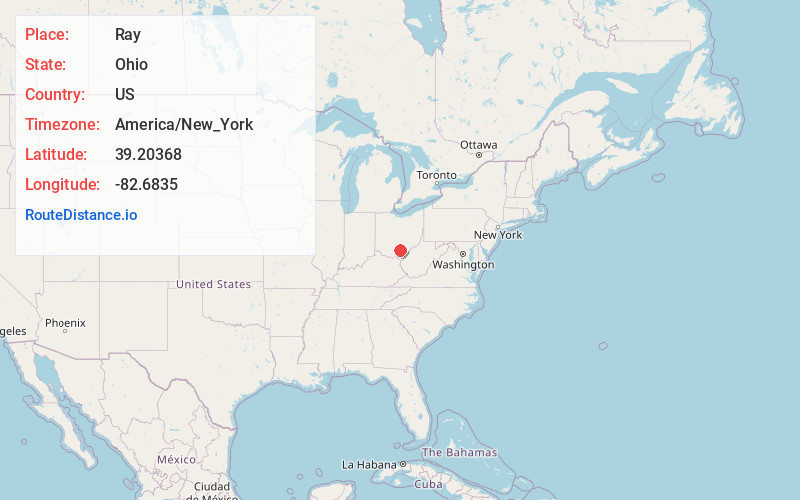
Full AddressRay, OH 45672
-
Coordinates39.2036801, -82.6835003
-
LocationRay , Ohio , US
-
TimezoneAmerica/New_York
-
Current Local Time6:11:49 AM America/New_YorkWednesday, May 28, 2025
-
Page Views0
About Ray
Ray is an unincorporated community in southeastern Harrison Township, Vinton County, Ohio, United States. It has a post office with the ZIP code 45672. It is located along State Route 327 in western Vinton County.

Nearby Places
Found 10 places within 50 miles

Ratcliffburg
4.1 mi
6.6 km
Ratcliffburg, OH 45672
Get directions
Richland
4.8 mi
7.7 km
Richland, OH 45651
Get directions
Savageville
4.9 mi
7.9 km
Savageville, Jackson Township, OH 45672
Get directions
Glen Nell
5.1 mi
8.2 km
Glen Nell, Washington Township, OH 45692
Get directions
Allensville
6.3 mi
10.1 km
Allensville, OH 45651
Get directions
Vigo
6.6 mi
10.6 km
Vigo, Liberty Township, OH 45601
Get directions
Lesmil
6.8 mi
10.9 km
Lesmil, Washington Township, OH 45692
Get directions
Richmond Dale
7.0 mi
11.3 km
Richmond Dale, OH
Get directions
Londonderry
7.2 mi
11.6 km
Londonderry, OH 45647
Get directions

Coalton
7.3 mi
11.7 km
Coalton, OH
Get directions
Location Links
Local Weather
Weather Information
Coming soon!
Location Map
Static map view of Ray, Ohio
Browse Places by Distance
Places within specific distances from Ray
Short Distances
Long Distances
Click any distance to see all places within that range from Ray. Distances shown in miles (1 mile ≈ 1.61 kilometers).