Distance to Red Bluff, Arkansas

Calculating Your Route
Just a moment while we process your request...
Location Information
-
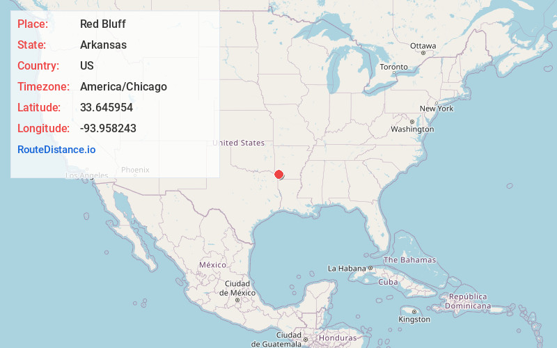
Full AddressRed Bluff, AR 71822
-
Coordinates33.6459543, -93.9582434
-
LocationArkansas , US
-
TimezoneAmerica/Chicago
-
Current Local Time2:23:14 PM America/ChicagoSaturday, June 7, 2025
-
Page Views0
Nearby Places
Found 10 places within 50 miles

Cole
1.7 mi
2.7 km
Cole, AR 71822
Get directions
Orton
2.0 mi
3.2 km
Orton, AR 71822
Get directions
Long
4.0 mi
6.4 km
Long, AR 71822
Get directions
Temple
4.8 mi
7.7 km
Temple, AR 71853
Get directions
Yarborough Landing
6.2 mi
10.0 km
Yarborough Landing, AR 71822
Get directions
Ogden
6.7 mi
10.8 km
Ogden, AR
Get directions
McNab
7.3 mi
11.7 km
McNab, AR 71838
Get directions
Clipper
7.9 mi
12.7 km
Clipper, AR 71854
Get directions

Saratoga
8.0 mi
12.9 km
Saratoga, AR
Get directions

Fulton
8.6 mi
13.8 km
Fulton, AR 71838
Get directions
Location Links
Local Weather
Weather Information
Coming soon!
Location Map
Static map view of Red Bluff, Arkansas
Browse Places by Distance
Places within specific distances from Red Bluff
Short Distances
Long Distances
Click any distance to see all places within that range from Red Bluff. Distances shown in miles (1 mile ≈ 1.61 kilometers).