Distance to Red Valley, Arizona

Calculating Your Route
Just a moment while we process your request...
Location Information
-
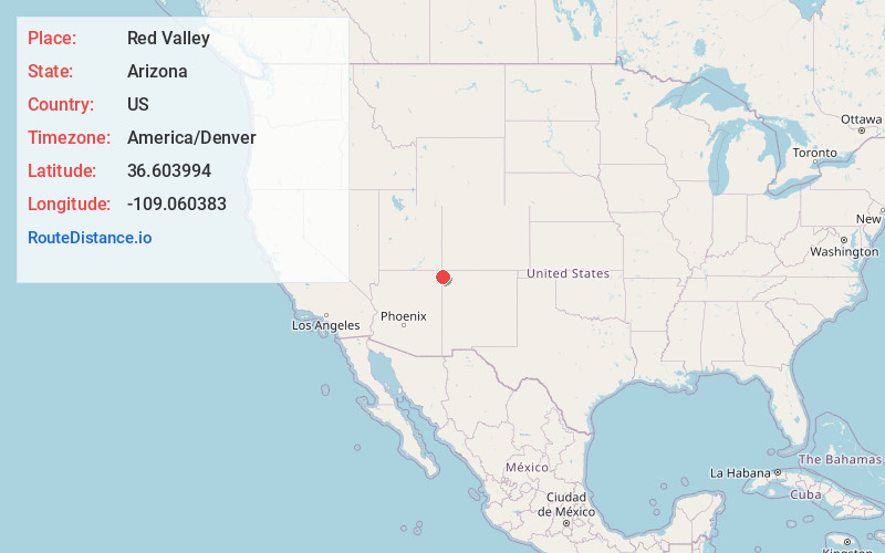
Full AddressRed Valley, AZ 86544
-
Coordinates36.6039938, -109.0603825
-
LocationRed Valley , Arizona , US
-
TimezoneAmerica/Denver
-
Current Local Time11:03:23 AM America/DenverFriday, May 30, 2025
-
Page Views0
About Red Valley
Red Rock is an unincorporated community and census-designated place in Apache County, Arizona, United States. Red Rock is located on the Navajo Nation near the New Mexico border, 16 miles northeast of Lukachukai. Red Rock has a post office with ZIP code 86544; the post office uses the Red Valley name.

Nearby Places
Found 10 places within 50 miles

Yazzi
9.3 mi
15.0 km
Yazzi, AZ 86544
Get directions

Lukachukai
16.0 mi
25.7 km
Lukachukai, AZ 86507
Get directions

Sanostee
16.1 mi
25.9 km
Sanostee, NM 87461
Get directions

Beclabito
16.6 mi
26.7 km
Beclabito, NM 87420
Get directions
Twin Falls
18.1 mi
29.1 km
Twin Falls, AZ 86514
Get directions
Tocito
21.0 mi
33.8 km
Tocito, NM 87420
Get directions
Little Water
21.6 mi
34.8 km
Little Water, NM 87461
Get directions

Teec Nos Pos
22.0 mi
35.4 km
Teec Nos Pos, AZ 86514
Get directions

Tsaile
22.4 mi
36.0 km
Tsaile, AZ
Get directions
Sehili
23.3 mi
37.5 km
Sehili, AZ
Get directions
Location Links
Local Weather
Weather Information
Coming soon!
Location Map
Static map view of Red Valley, Arizona
Browse Places by Distance
Places within specific distances from Red Valley
Short Distances
Long Distances
Click any distance to see all places within that range from Red Valley. Distances shown in miles (1 mile ≈ 1.61 kilometers).