Distance to Sehili, Arizona

Calculating Your Route
Just a moment while we process your request...
Location Information
-
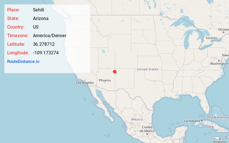
Full AddressSehili, AZ
-
Coordinates36.2787124, -109.1732741
-
LocationSehili , Arizona , US
-
TimezoneAmerica/Denver
-
Current Local Time5:46:55 PM America/DenverMonday, June 2, 2025
-
Page Views0
About Sehili
Sehili is a census-designated place in Apache County, Arizona, United States. The population was 135 at the 2010 census.
Nearby Places
Found 10 places within 50 miles

Tsaile
3.3 mi
5.3 km
Tsaile, AZ
Get directions

Wheatfields
3.8 mi
6.1 km
Wheatfields, AZ 86507
Get directions

Lukachukai
10.0 mi
16.1 km
Lukachukai, AZ 86507
Get directions

Del Muerto
16.3 mi
26.2 km
Del Muerto, AZ 86503
Get directions

Sanostee
19.5 mi
31.4 km
Sanostee, NM 87461
Get directions
Crystal
19.8 mi
31.9 km
Crystal, NM 87328
Get directions

Chinle
22.8 mi
36.7 km
Chinle, AZ 86503
Get directions

Round Rock
23.3 mi
37.5 km
Round Rock, AZ 86547
Get directions

Many Farms
25.3 mi
40.7 km
Many Farms, AZ
Get directions

Sawmill
26.0 mi
41.8 km
Sawmill, AZ 86504
Get directions
Location Links
Local Weather
Weather Information
Coming soon!
Location Map
Static map view of Sehili, Arizona
Browse Places by Distance
Places within specific distances from Sehili
Short Distances
Long Distances
Click any distance to see all places within that range from Sehili. Distances shown in miles (1 mile ≈ 1.61 kilometers).