Distance to Wheatfields, Arizona

Calculating Your Route
Just a moment while we process your request...
Location Information
-
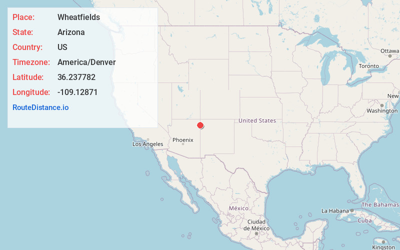
Full AddressWheatfields, AZ 86507
-
Coordinates36.2377818, -109.12871
-
LocationWheatfields , Arizona , US
-
TimezoneAmerica/Denver
-
Current Local Time11:40:30 AM America/DenverMonday, June 30, 2025
-
Page Views0
About Wheatfields
Wheatfields is a populated place situated in Apache County, Arizona, United States, right along the border with New Mexico. It has an estimated elevation of 7,287 feet above sea level. It is one of two places in Arizona with this name, the other being a CDP in Gila County.

Nearby Places
Found 10 places within 50 miles

Tsaile
7.0 mi
11.3 km
Tsaile, AZ
Get directions

Lukachukai
13.6 mi
21.9 km
Lukachukai, AZ 86507
Get directions

Del Muerto
17.9 mi
28.8 km
Del Muerto, AZ 86503
Get directions

Sawmill
23.3 mi
37.5 km
Sawmill, AZ 86504
Get directions

Chinle
24.3 mi
39.1 km
Chinle, AZ 86503
Get directions

Round Rock
27.0 mi
43.5 km
Round Rock, AZ 86547
Get directions

Many Farms
28.4 mi
45.7 km
Many Farms, AZ
Get directions

Nazlini
29.6 mi
47.6 km
Nazlini, AZ 86540
Get directions

Tohatchi
33.3 mi
53.6 km
Tohatchi, NM 87325
Get directions

Fort Defiance
34.2 mi
55.0 km
Fort Defiance, AZ 86504
Get directions
Location Links
Local Weather
Weather Information
Coming soon!
Location Map
Static map view of Wheatfields, Arizona
Browse Places by Distance
Places within specific distances from Wheatfields
Short Distances
Long Distances
Click any distance to see all places within that range from Wheatfields. Distances shown in miles (1 mile ≈ 1.61 kilometers).