Distance to Red Wing, Colorado

Calculating Your Route
Just a moment while we process your request...
Location Information
-
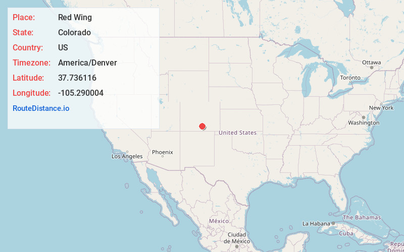
Full AddressRed Wing, CO 81040
-
Coordinates37.7361158, -105.2900037
-
LocationColorado , US
-
TimezoneAmerica/Denver
-
Current Local Time3:39:46 AM America/DenverMonday, June 2, 2025
-
Page Views1
Nearby Places
Found 10 places within 50 miles

Malachite
2.0 mi
3.2 km
Malachite, CO 81040
Get directions

Gardner
7.5 mi
12.1 km
Gardner, CO 81040
Get directions
Badito
15.1 mi
24.3 km
Badito, CO 81089
Get directions
Codo
18.0 mi
29.0 km
Codo, CO 81055
Get directions

Greenhorn Mountain
18.1 mi
29.1 km
Greenhorn Mountain, Colorado 81069
Get directions

Fir
18.4 mi
29.6 km
Fir, CO 81133
Get directions
Strong
21.3 mi
34.3 km
Strong, CO 81089
Get directions
Cuerna Verde Park
21.6 mi
34.8 km
Cuerna Verde Park, CO 81069
Get directions

La Veta
22.1 mi
35.6 km
La Veta, CO 81055
Get directions

Fort Garland
22.6 mi
36.4 km
Fort Garland, CO
Get directions
Location Links
Local Weather
Weather Information
Coming soon!
Location Map
Static map view of Red Wing, Colorado
Browse Places by Distance
Places within specific distances from Red Wing
Short Distances
Long Distances
Click any distance to see all places within that range from Red Wing. Distances shown in miles (1 mile ≈ 1.61 kilometers).