Distance to and from Redden, Oklahoma
Redden, OK 74569
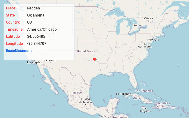
Oklahoma
US
America/Chicago
Location Information
-
Full AddressRedden, OK 74569
-
Coordinates34.5064853, -95.8447068
-
LocationOklahoma , US
-
TimezoneAmerica/Chicago
-
Current Local Time11:04:13 AM America/ChicagoMonday, May 5, 2025
-
Page Views0
Directions to Nearest Cities
About Redden
Redden was a town located in northeastern Atoka County, Oklahoma, United States, on State Highway 43, approximately 13 miles northeast of Stringtown.
The Postal Service established a post office at Redden, Indian Territory on June 1, 1903, in what was then Atoka County, Choctaw Nation.
Nearby Places
Found 10 places within 50 miles

Limestone Gap
9.7 mi
15.6 km
Limestone Gap, OK 74525
Get directions
Burg
10.0 mi
16.1 km
Burg, OK 74525
Get directions
Chockie
10.2 mi
16.4 km
Chockie, OK 74525
Get directions

Stringtown
12.2 mi
19.6 km
Stringtown, OK
Get directions
Pine Top
13.2 mi
21.2 km
Pine Top, OK 74560
Get directions

Pittsburg
14.3 mi
23.0 km
Pittsburg, OK
Get directions
Miller
14.3 mi
23.0 km
Miller, OK 74525
Get directions

Wardville
14.7 mi
23.7 km
Wardville, OK
Get directions

Adel
15.1 mi
24.3 km
Adel, OK 74536
Get directions

Kiowa
15.1 mi
24.3 km
Kiowa, OK 74553
Get directions
Limestone Gap
9.7 mi
15.6 km
Limestone Gap, OK 74525
Burg
10.0 mi
16.1 km
Burg, OK 74525
Chockie
10.2 mi
16.4 km
Chockie, OK 74525
Stringtown
12.2 mi
19.6 km
Stringtown, OK
Pine Top
13.2 mi
21.2 km
Pine Top, OK 74560
Pittsburg
14.3 mi
23.0 km
Pittsburg, OK
Miller
14.3 mi
23.0 km
Miller, OK 74525
Wardville
14.7 mi
23.7 km
Wardville, OK
Adel
15.1 mi
24.3 km
Adel, OK 74536
Kiowa
15.1 mi
24.3 km
Kiowa, OK 74553
Location Links
Local Weather
Weather Information
Coming soon!
Location Map
Static map view of Redden, Oklahoma
Browse Places by Distance
Places within specific distances from Redden
Short Distances
Long Distances
Click any distance to see all places within that range from Redden. Distances shown in miles (1 mile ≈ 1.61 kilometers).