Distance to Adel, Oklahoma

Calculating Your Route
Just a moment while we process your request...
Location Information
-
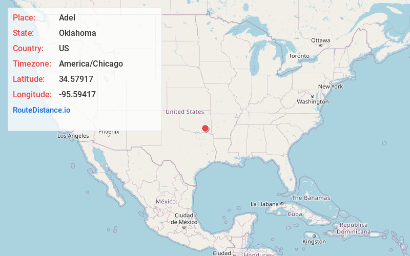
Full AddressAdel, OK 74536
-
Coordinates34.57917, -95.59417
-
LocationAdel , Oklahoma , US
-
TimezoneAmerica/Chicago
-
Current Local Time4:22:03 AM America/ChicagoWednesday, June 18, 2025
-
Page Views0
About Adel
Adel is an unincorporated community in northwestern Pushmataha County, Oklahoma, United States. It is 12 miles west of Clayton.
Using the Public Land Survey System commonly in use in Oklahoma, its coordinates are T13-3S-R16E.


Nearby Places
Found 10 places within 50 miles

Clayton
13.8 mi
22.2 km
Clayton, OK 74536
Get directions

Blanco
15.7 mi
25.3 km
Blanco, OK 74501
Get directions

Pittsburg
17.2 mi
27.7 km
Pittsburg, OK
Get directions
Moyers
18.2 mi
29.3 km
Moyers, OK
Get directions
Finley
18.2 mi
29.3 km
Finley, OK
Get directions

Tuskahoma
18.3 mi
29.5 km
Tuskahoma, OK
Get directions

Hartshorne
18.5 mi
29.8 km
Hartshorne, OK 74547
Get directions

Haileyville
19.0 mi
30.6 km
Haileyville, OK
Get directions

Kiowa
19.9 mi
32.0 km
Kiowa, OK 74553
Get directions
Gowen
21.9 mi
35.2 km
Gowen, OK 74578
Get directions
Location Links
Local Weather
Weather Information
Coming soon!
Location Map
Static map view of Adel, Oklahoma
Browse Places by Distance
Places within specific distances from Adel
Short Distances
Long Distances
Click any distance to see all places within that range from Adel. Distances shown in miles (1 mile ≈ 1.61 kilometers).