Distance to Tuskahoma, Oklahoma

Calculating Your Route
Just a moment while we process your request...
Location Information
-
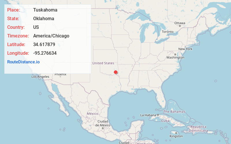
Full AddressTuskahoma, OK
-
Coordinates34.6178786, -95.2766344
-
LocationTuskahoma , Oklahoma , US
-
TimezoneAmerica/Chicago
-
Current Local Time9:53:50 PM America/ChicagoFriday, May 30, 2025
-
Page Views0
About Tuskahoma
Tuskahoma is an unincorporated community and census-designated place in northern Pushmataha County, Oklahoma, United States, four miles east of Clayton. It was the former seat of the Choctaw Nation government prior to Oklahoma statehood. The population was 102 as of the 2020 United States census.


Nearby Places
Found 10 places within 50 miles

Clayton
4.8 mi
7.7 km
Clayton, OK 74536
Get directions

Talihina
15.9 mi
25.6 km
Talihina, OK 74571
Get directions

Wilburton
20.9 mi
33.6 km
Wilburton, OK 74578
Get directions

Gowen
21.5 mi
34.6 km
Gowen, OK 74578
Get directions

Little Rock Creek
21.5 mi
34.6 km
Little Rock Creek, Oklahoma 74957
Get directions
Panola
21.8 mi
35.1 km
Panola, OK
Get directions

Hartshorne
22.4 mi
36.0 km
Hartshorne, OK 74547
Get directions
Whitesboro
22.8 mi
36.7 km
Whitesboro, OK
Get directions

Haileyville
23.8 mi
38.3 km
Haileyville, OK
Get directions
Red Oak
25.6 mi
41.2 km
Red Oak, OK 74563
Get directions
Location Links
Local Weather
Weather Information
Coming soon!
Location Map
Static map view of Tuskahoma, Oklahoma
Browse Places by Distance
Places within specific distances from Tuskahoma
Short Distances
Long Distances
Click any distance to see all places within that range from Tuskahoma. Distances shown in miles (1 mile ≈ 1.61 kilometers).