Distance to Redings Mill, Missouri

Calculating Your Route
Just a moment while we process your request...
Location Information
-
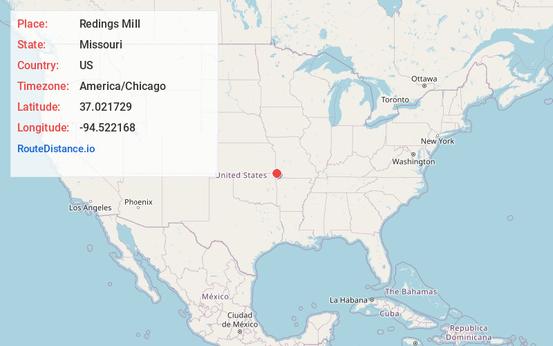
Full AddressRedings Mill, MO 64804
-
Coordinates37.021729, -94.5221683
-
LocationRedings Mill , Missouri , US
-
TimezoneAmerica/Chicago
-
Current Local Time9:33:28 AM America/ChicagoTuesday, June 17, 2025
-
Page Views0
About Redings Mill
Redings Mill is a village in Newton County, Missouri, United States. The population was 151 at the 2010 census. It is part of the Joplin, Missouri Metropolitan Statistical Area.


Nearby Places
Found 10 places within 50 miles

Shoal Creek Drive
1.2 mi
1.9 km
Shoal Creek Drive, MO 64804
Get directions

Grand Falls Plaza
1.2 mi
1.9 km
Grand Falls Plaza, MO 64804
Get directions

Shoal Creek Estates
1.7 mi
2.7 km
Shoal Creek Estates, MO 64804
Get directions
Leawood
1.7 mi
2.7 km
Leawood, MO 64804
Get directions

Saginaw
3.0 mi
4.8 km
Saginaw, MO 64804
Get directions
Loma Linda
4.1 mi
6.6 km
Loma Linda, MO
Get directions

Joplin
4.4 mi
7.1 km
Joplin, MO
Get directions
Duquesne
5.1 mi
8.2 km
Duquesne, MO
Get directions
Duenweg
7.4 mi
11.9 km
Duenweg, MO
Get directions

Galena
7.5 mi
12.1 km
Galena, KS 66739
Get directions
Location Links
Local Weather
Weather Information
Coming soon!
Location Map
Static map view of Redings Mill, Missouri
Browse Places by Distance
Places within specific distances from Redings Mill
Short Distances
Long Distances
Click any distance to see all places within that range from Redings Mill. Distances shown in miles (1 mile ≈ 1.61 kilometers).