Distance to Redwood Corral, California

Calculating Your Route
Just a moment while we process your request...
Location Information
-
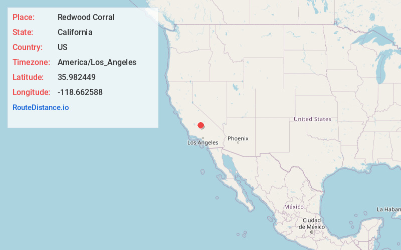
Full AddressRedwood Corral, CA 93257
-
Coordinates35.9824489, -118.6625884
-
LocationRedwood Corral , California , US
-
TimezoneAmerica/Los_Angeles
-
Current Local Time12:59:19 PM America/Los_AngelesMonday, June 30, 2025
-
Page Views0
Nearby Places
Found 10 places within 50 miles

California Hot Springs
6.7 mi
10.8 km
California Hot Springs, CA 93207
Get directions

Johnsondale
6.9 mi
11.1 km
Johnsondale, CA 93208
Get directions

Smith Mill
7.5 mi
12.1 km
Smith Mill, CA 93265
Get directions
Sugarloaf Saw Mill
10.7 mi
17.2 km
Sugarloaf Saw Mill, CA 93260
Get directions

Sugarloaf Village
10.9 mi
17.5 km
Sugarloaf Village, CA 93260
Get directions
Pierpoint
11.0 mi
17.7 km
Pierpoint, CA 93265
Get directions

Camp Nelson
11.2 mi
18.0 km
Camp Nelson, CA 93265
Get directions
McClenney Tract
11.3 mi
18.2 km
McClenney Tract, CA 93260
Get directions

Ponderosa
11.4 mi
18.3 km
Ponderosa, CA 93265
Get directions
Spear Creek Summer Home Tract
11.9 mi
19.2 km
Spear Creek Summer Home Tract, CA 93260
Get directions
Location Links
Local Weather
Weather Information
Coming soon!
Location Map
Static map view of Redwood Corral, California
Browse Places by Distance
Places within specific distances from Redwood Corral
Short Distances
Long Distances
Click any distance to see all places within that range from Redwood Corral. Distances shown in miles (1 mile ≈ 1.61 kilometers).