Distance to Ree Heights, South Dakota

Calculating Your Route
Just a moment while we process your request...
Location Information
-
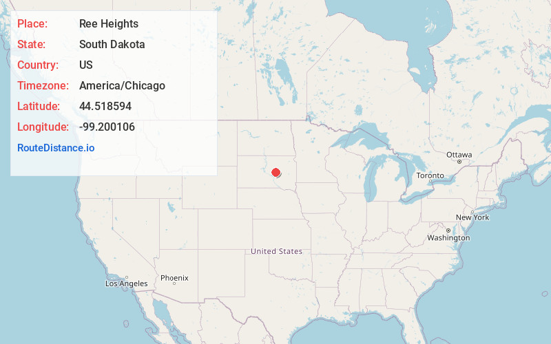
Full AddressRee Heights, SD 57371
-
Coordinates44.5185938, -99.2001057
-
LocationRee Heights , South Dakota , US
-
TimezoneAmerica/Chicago
-
Current Local Time1:51:02 PM America/ChicagoTuesday, June 24, 2025
-
Page Views0
About Ree Heights
Ree Heights is a town in western Hand County, South Dakota, United States. The population was 62 at the 2010 census.
Nearby Places
Found 10 places within 50 miles

Miller
10.4 mi
16.7 km
Miller, SD 57362
Get directions

Highmore
11.9 mi
19.2 km
Highmore, SD 57345
Get directions

St Lawrence
12.9 mi
20.8 km
St Lawrence, SD
Get directions
Stephan
22.5 mi
36.2 km
Stephan, SD 57345
Get directions

Harrold
26.6 mi
42.8 km
Harrold, SD 57536
Get directions

Fort Thompson
33.2 mi
53.4 km
Fort Thompson, SD
Get directions
Faulkton
35.9 mi
57.8 km
Faulkton, SD 57438
Get directions

Lower Brule
36.0 mi
57.9 km
Lower Brule, SD 57548
Get directions

Wolsey
36.6 mi
58.9 km
Wolsey, SD 57384
Get directions
Tulare
37.2 mi
59.9 km
Tulare, SD 57476
Get directions
Location Links
Local Weather
Weather Information
Coming soon!
Location Map
Static map view of Ree Heights, South Dakota
Browse Places by Distance
Places within specific distances from Ree Heights
Short Distances
Long Distances
Click any distance to see all places within that range from Ree Heights. Distances shown in miles (1 mile ≈ 1.61 kilometers).