Distance to Reno Beach, Ohio

Calculating Your Route
Just a moment while we process your request...
Location Information
-
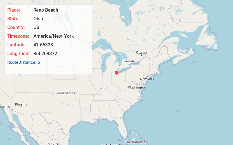
Full AddressReno Beach, OH
-
Coordinates41.6633803, -83.2693718
-
LocationReno Beach , Ohio , US
-
TimezoneAmerica/New_York
-
Current Local Time2:17:21 PM America/New_YorkMonday, June 23, 2025
-
Page Views0
About Reno Beach
Reno Beach is a census-designated place in Lucas County, Ohio, United States, on the southwest shore of Lake Erie. It contains the unincorporated communities of Lakemont Landing, Reno Beach, Lakeland, and Howard Farms Beach and was first listed as a CDP prior to the 2020 census.


Nearby Places
Found 10 places within 50 miles

Curtice
5.9 mi
9.5 km
Curtice, OH
Get directions

Millbury
10.5 mi
16.9 km
Millbury, OH 43447
Get directions

Northwood
11.0 mi
17.7 km
Northwood, OH
Get directions

Genoa
11.1 mi
17.9 km
Genoa, OH 43430
Get directions

Oregon
11.3 mi
18.2 km
Oregon, OH
Get directions

Oak Harbor
12.5 mi
20.1 km
Oak Harbor, OH 43449
Get directions

Walbridge
12.7 mi
20.4 km
Walbridge, OH 43465
Get directions

Elmore
13.1 mi
21.1 km
Elmore, OH 43416
Get directions

Luna Pier
13.3 mi
21.4 km
Luna Pier, MI
Get directions

Toledo
13.9 mi
22.4 km
Toledo, OH
Get directions
Location Links
Local Weather
Weather Information
Coming soon!
Location Map
Static map view of Reno Beach, Ohio
Browse Places by Distance
Places within specific distances from Reno Beach
Short Distances
Long Distances
Click any distance to see all places within that range from Reno Beach. Distances shown in miles (1 mile ≈ 1.61 kilometers).