Distance to Ringgold, Ohio

Calculating Your Route
Just a moment while we process your request...
Location Information
-
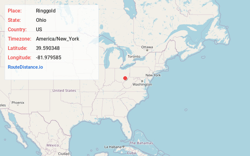
Full AddressRinggold, Union Township, OH 43758
-
Coordinates39.590348, -81.979585
-
LocationUnion Township , Ohio , US
-
TimezoneAmerica/New_York
-
Current Local Time2:50:24 PM America/New_YorkThursday, June 5, 2025
-
Page Views0
About Ringgold
Ringgold is an unincorporated community in Morgan County, Ohio, United States. Ringgold is located at the junction of State Routes 78 and 555, 7.5 miles southwest of Malta.
Nearby Places
Found 10 places within 50 miles

Morganville
3.2 mi
5.1 km
Morganville, OH 43758
Get directions
Elliott Crossroads
4.5 mi
7.2 km
Elliott Crossroads, Homer Township, OH 43728
Get directions
Alabama Hill
4.9 mi
7.9 km
Alabama Hill, OH 43730
Get directions
Westland
5.1 mi
8.2 km
Westland, OH 43728
Get directions

San Toy
5.4 mi
8.7 km
San Toy, Bearfield Township, OH 43730
Get directions

Corning
5.8 mi
9.3 km
Corning, OH 43730
Get directions
Joetown
5.9 mi
9.5 km
Joetown, Malta Township, OH 43758
Get directions

Rendville
6.3 mi
10.1 km
Rendville, OH 43730
Get directions
Millertown
6.3 mi
10.1 km
Millertown, OH 43730
Get directions

Malta
7.5 mi
12.1 km
Malta, OH 43758
Get directions
Location Links
Local Weather
Weather Information
Coming soon!
Location Map
Static map view of Ringgold, Ohio
Browse Places by Distance
Places within specific distances from Ringgold
Short Distances
Long Distances
Click any distance to see all places within that range from Ringgold. Distances shown in miles (1 mile ≈ 1.61 kilometers).