Distance to River Bottom, Oklahoma

Calculating Your Route
Just a moment while we process your request...
Location Information
-
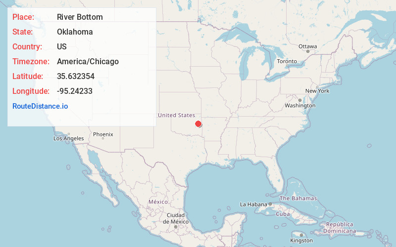
Full AddressRiver Bottom, OK 74403
-
Coordinates35.6323536, -95.24233
-
LocationRiver Bottom , Oklahoma , US
-
TimezoneAmerica/Chicago
-
Current Local Time1:16:04 AM America/ChicagoThursday, June 19, 2025
-
Page Views0
About River Bottom
River Bottom is a census-designated place in Muskogee County, Oklahoma, United States. The population was 265 at the 2000 census.


Nearby Places
Found 10 places within 50 miles

Sand Hill
2.7 mi
4.3 km
Sand Hill, OK
Get directions

Notchietown
9.3 mi
15.0 km
Notchietown, OK 74435
Get directions

Gore
10.0 mi
16.1 km
Gore, OK 74435
Get directions

Warner
10.2 mi
16.4 km
Warner, OK
Get directions

Webbers Falls
10.5 mi
16.9 km
Webbers Falls, OK
Get directions

Muskogee
10.7 mi
17.2 km
Muskogee, OK
Get directions

Fort Gibson
11.4 mi
18.3 km
Fort Gibson, OK 74434
Get directions
Redbird Smith
13.3 mi
21.4 km
Redbird Smith, OK
Get directions

Oktaha
13.6 mi
21.9 km
Oktaha, OK 74450
Get directions
Carlisle
15.2 mi
24.5 km
Carlisle, OK
Get directions
Location Links
Local Weather
Weather Information
Coming soon!
Location Map
Static map view of River Bottom, Oklahoma
Browse Places by Distance
Places within specific distances from River Bottom
Short Distances
Long Distances
Click any distance to see all places within that range from River Bottom. Distances shown in miles (1 mile ≈ 1.61 kilometers).