Distance to Roads End, California

Calculating Your Route
Just a moment while we process your request...
Location Information
-
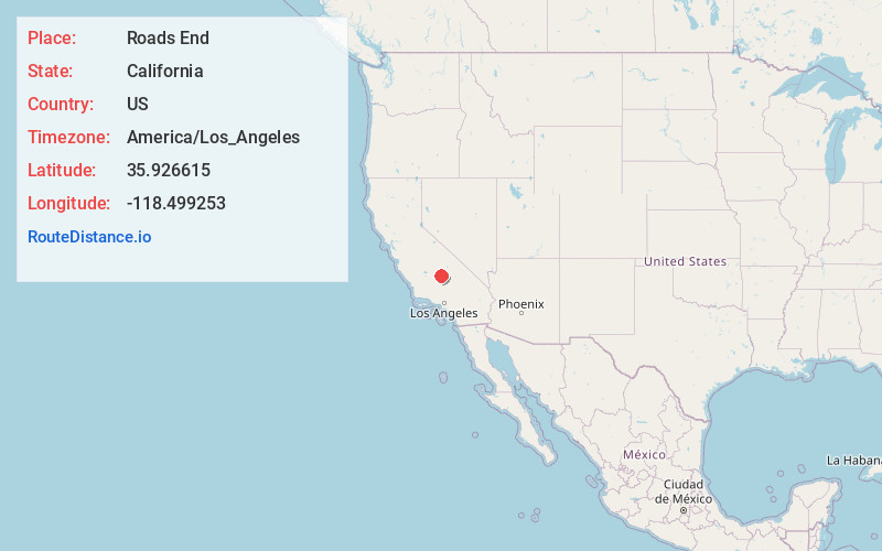
Full AddressRoads End, CA 93238
-
Coordinates35.9266154, -118.4992534
-
LocationRoads End , California , US
-
TimezoneAmerica/Los_Angeles
-
Current Local Time2:23:37 PM America/Los_AngelesSaturday, May 24, 2025
-
Page Views0
About Roads End
Roads End is an unincorporated community in Tulare County, California, in the United States.
In 2005, The Peter Lebeck Chapter 1866 of E Clampus Vitus placed a historical plaque at or near the site of historic Roads End.
This is what the plaque said:
PLAQUE READ:
In 1910 this was Camp 8 – the end of the road.


Nearby Places
Found 10 places within 50 miles

Johnsondale
4.0 mi
6.4 km
Johnsondale, CA 93208
Get directions

Spear Creek Summer Home Tract
9.1 mi
14.6 km
Spear Creek Summer Home Tract, CA 93260
Get directions

California Hot Springs
9.1 mi
14.6 km
California Hot Springs, CA 93207
Get directions
Sugarloaf Saw Mill
9.2 mi
14.8 km
Sugarloaf Saw Mill, CA 93260
Get directions
Redwood Corral
9.9 mi
15.9 km
Redwood Corral, CA 93257
Get directions

Sugarloaf Village
10.3 mi
16.6 km
Sugarloaf Village, CA 93260
Get directions
McClenney Tract
11.0 mi
17.7 km
McClenney Tract, CA 93260
Get directions

Panorama Heights
11.1 mi
17.9 km
Panorama Heights, CA 93260
Get directions
Poso Park
11.2 mi
18.0 km
Poso Park, CA 93260
Get directions
Pleasant View
11.5 mi
18.5 km
Pleasant View, CA 93260
Get directions
Location Links
Local Weather
Weather Information
Coming soon!
Location Map
Static map view of Roads End, California
Browse Places by Distance
Places within specific distances from Roads End
Short Distances
Long Distances
Click any distance to see all places within that range from Roads End. Distances shown in miles (1 mile ≈ 1.61 kilometers).