Distance to Robbins, Illinois

Calculating Your Route
Just a moment while we process your request...
Location Information
-
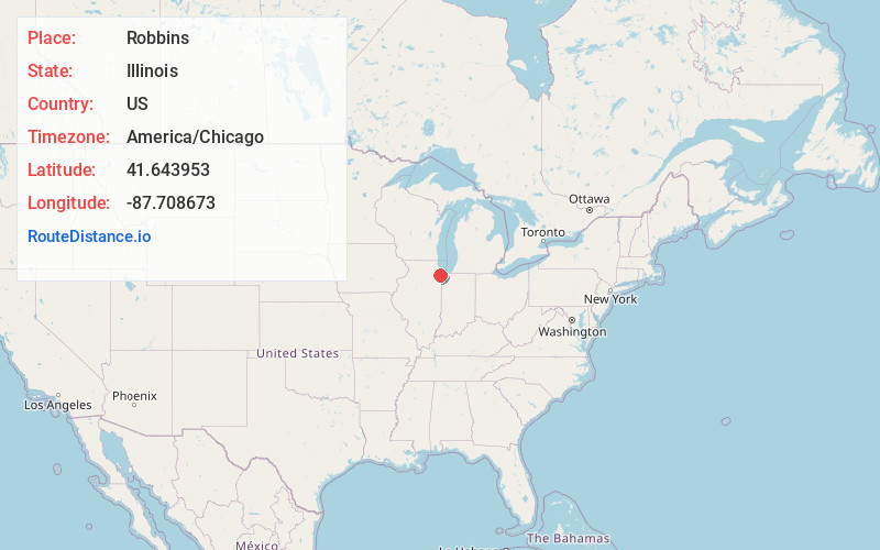
Full AddressRobbins, IL
-
Coordinates41.6439525, -87.7086725
-
LocationRobbins , Illinois , US
-
TimezoneAmerica/Chicago
-
Current Local Time10:40:01 AM America/ChicagoThursday, June 12, 2025
-
Website
-
Page Views0
About Robbins
Robbins is a village and southwest suburb of Chicago in Cook County, Illinois, United States. The population was 4,629 at the 2020 census. It is the second oldest African American incorporated town in the north following Brooklyn, Illinois, and was home to the country's first black-owned airport, Robbins Airport.

Nearby Places
Found 10 places within 50 miles

Midlothian
1.4 mi
2.3 km
Midlothian, IL 60445
Get directions

Posen
1.6 mi
2.6 km
Posen, IL
Get directions

Blue Island
1.7 mi
2.7 km
Blue Island, IL
Get directions

Alsip
2.3 mi
3.7 km
Alsip, IL
Get directions

Crestwood
2.6 mi
4.2 km
Crestwood, IL
Get directions

Calumet Park
2.8 mi
4.5 km
Calumet Park, IL
Get directions

Oak Forest
3.4 mi
5.5 km
Oak Forest, IL
Get directions

Markham
3.5 mi
5.6 km
Markham, IL
Get directions

Harvey
4.0 mi
6.4 km
Harvey, IL
Get directions

Riverdale
4.0 mi
6.4 km
Riverdale, IL
Get directions
Location Links
Local Weather
Weather Information
Coming soon!
Location Map
Static map view of Robbins, Illinois
Browse Places by Distance
Places within specific distances from Robbins
Short Distances
Long Distances
Click any distance to see all places within that range from Robbins. Distances shown in miles (1 mile ≈ 1.61 kilometers).