Distance to Roberts Place, California

Calculating Your Route
Just a moment while we process your request...
Location Information
-
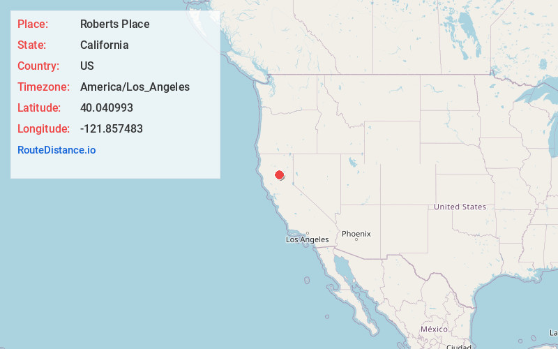
Full AddressRoberts Place, CA
-
Coordinates40.0409925, -121.8574833
-
LocationRoberts Place , California , US
-
TimezoneAmerica/Los_Angeles
-
Current Local Time8:17:50 PM America/Los_AngelesMonday, June 23, 2025
-
Page Views0
Nearby Places
Found 10 places within 50 miles

Favinger Place
6.4 mi
10.3 km
Favinger Place, CA
Get directions
Campbellville
7.2 mi
11.6 km
Campbellville, CA 95973
Get directions
Polk Springs
11.4 mi
18.3 km
Polk Springs, CA
Get directions

Cohasset
11.6 mi
18.7 km
Cohasset, CA 95973
Get directions
Lomo
12.7 mi
20.4 km
Lomo, CA 95942
Get directions
Vina
12.8 mi
20.6 km
Vina, CA 96092
Get directions

Los Molinos
12.9 mi
20.8 km
Los Molinos, CA 96055
Get directions
Payne Place
13.3 mi
21.4 km
Payne Place, CA
Get directions

Tehama
14.1 mi
22.7 km
Tehama, CA
Get directions
Richardson Springs
14.5 mi
23.3 km
Richardson Springs, CA 95973
Get directions
Location Links
Local Weather
Weather Information
Coming soon!
Location Map
Static map view of Roberts Place, California
Browse Places by Distance
Places within specific distances from Roberts Place
Short Distances
Long Distances
Click any distance to see all places within that range from Roberts Place. Distances shown in miles (1 mile ≈ 1.61 kilometers).