Distance to Rollag, Minnesota

Calculating Your Route
Just a moment while we process your request...
Location Information
-
Full AddressRollag, MN 56549
-
Coordinates46.7399583, -96.2381184
-
LocationRollag , Minnesota , US
-
TimezoneAmerica/Chicago
-
Current Local Time10:15:24 AM America/ChicagoSunday, June 8, 2025
-
Page Views0
About Rollag
Rollag is an unincorporated community in Parke Township Clay County, Minnesota, United States. The community is located northeast of Barnesville and south of Hawley on Minnesota State Highway 32.
The living museum WMSTR is located in the community.


Nearby Places
Found 10 places within 50 miles

Tansem
4.5 mi
7.2 km
Tansem, MN 56549
Get directions

Cormorant
8.2 mi
13.2 km
Cormorant, MN 56572
Get directions

Hawley
10.4 mi
16.7 km
Hawley, MN 56549
Get directions

Barnesville
10.5 mi
16.9 km
Barnesville, MN 56514
Get directions
Dale
11.5 mi
18.5 km
Dale, MN 56549
Get directions
Muskoda
11.6 mi
18.7 km
Muskoda, MN 56549
Get directions
Dunvilla
11.6 mi
18.7 km
Dunvilla, MN 56572
Get directions

Lake Park
12.2 mi
19.6 km
Lake Park, MN 56554
Get directions
Labelle
12.9 mi
20.8 km
Labelle, MN 56554
Get directions

Pelican Rapids
13.8 mi
22.2 km
Pelican Rapids, MN 56572
Get directions
Location Links
Local Weather
Weather Information
Coming soon!
Location Map
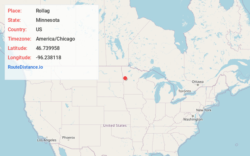
Static map view of Rollag, Minnesota
Browse Places by Distance
Places within specific distances from Rollag
Short Distances
Long Distances
Click any distance to see all places within that range from Rollag. Distances shown in miles (1 mile ≈ 1.61 kilometers).