Distance to Rolling Fields, Kentucky

Calculating Your Route
Just a moment while we process your request...
Location Information
-
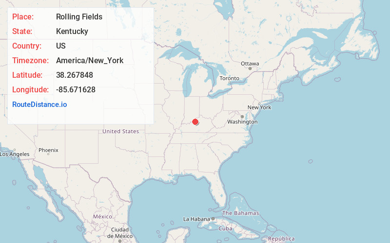
Full AddressRolling Fields, KY 40207
-
Coordinates38.2678484, -85.6716283
-
LocationRolling Fields , Kentucky , US
-
TimezoneAmerica/New_York
-
Current Local Time1:12:15 PM America/New_YorkThursday, July 3, 2025
-
Page Views0
About Rolling Fields
Rolling Fields is a home rule-class city in Jefferson County, Kentucky, United States. The population was 646 at the 2010 census. It incorporated as a city in 1958.
It was the fifth-wealthiest city in Kentucky by median household income in 2000.
Nearby Places
Found 10 places within 50 miles

Indian Hills
0.6 mi
1.0 km
Indian Hills, KY
Get directions

Windy Hills
2.1 mi
3.4 km
Windy Hills, KY 40207
Get directions

Northfield
2.2 mi
3.5 km
Northfield, KY
Get directions
Woodlawn Park
2.3 mi
3.7 km
Woodlawn Park, KY 40207
Get directions
Beechwood Village
2.4 mi
3.9 km
Beechwood Village, KY
Get directions

St Matthews
2.6 mi
4.2 km
St Matthews, KY
Get directions
Graymoor-Devondale
2.7 mi
4.3 km
Graymoor-Devondale, KY 40222
Get directions
Seneca Gardens
2.7 mi
4.3 km
Seneca Gardens, KY 40205
Get directions
Glenview
2.7 mi
4.3 km
Glenview, KY
Get directions
Strathmoor Village
3.1 mi
5.0 km
Strathmoor Village, KY 40205
Get directions
Location Links
Local Weather
Weather Information
Coming soon!
Location Map
Static map view of Rolling Fields, Kentucky
Browse Places by Distance
Places within specific distances from Rolling Fields
Short Distances
Long Distances
Click any distance to see all places within that range from Rolling Fields. Distances shown in miles (1 mile ≈ 1.61 kilometers).