Distance to Rollinsford, New Hampshire

Calculating Your Route
Just a moment while we process your request...
Location Information
-
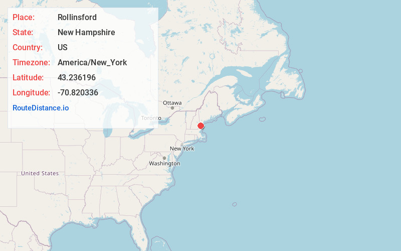
Full AddressRollinsford, NH
-
Coordinates43.2361957, -70.8203355
-
LocationRollinsford , New Hampshire , US
-
TimezoneAmerica/New_York
-
Current Local Time7:24:51 AM America/New_YorkWednesday, June 18, 2025
-
Page Views0
About Rollinsford
Rollinsford is a town in Strafford County, New Hampshire, United States. The population was 2,597 at the 2020 census. The main village in town was once known as "Salmon Falls Village".


Nearby Places
Found 10 places within 50 miles

South Berwick
0.6 mi
1.0 km
South Berwick, ME 03908
Get directions

Somersworth
2.9 mi
4.7 km
Somersworth, NH
Get directions

Berwick
3.1 mi
5.0 km
Berwick, ME 03901
Get directions

Dover
3.8 mi
6.1 km
Dover, NH 03820
Get directions

Eliot
5.8 mi
9.3 km
Eliot, ME 03903
Get directions

North Berwick
6.3 mi
10.1 km
North Berwick, ME 03906
Get directions

Durham
8.9 mi
14.3 km
Durham, NH
Get directions

Rochester
9.1 mi
14.6 km
Rochester, NH
Get directions

York
10.1 mi
16.3 km
York, ME
Get directions

Kittery
10.9 mi
17.5 km
Kittery, ME
Get directions
Location Links
Local Weather
Weather Information
Coming soon!
Location Map
Static map view of Rollinsford, New Hampshire
Browse Places by Distance
Places within specific distances from Rollinsford
Short Distances
Long Distances
Click any distance to see all places within that range from Rollinsford. Distances shown in miles (1 mile ≈ 1.61 kilometers).