Distance to Roscoe Township, Minnesota

Calculating Your Route
Just a moment while we process your request...
Location Information
-
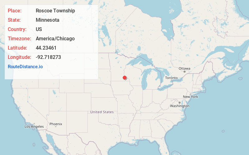
Full AddressRoscoe Township, MN
-
Coordinates44.2346097, -92.7182728
-
LocationRoscoe Township , Minnesota , US
-
TimezoneAmerica/Chicago
-
Current Local Time2:29:50 PM America/ChicagoMonday, June 23, 2025
-
Page Views0
About Roscoe Township
Roscoe Township is a township in Goodhue County, Minnesota, United States. The population was 784 at the 2000 census.
At its high point, the township had a convenience store, school and more. Today - little is left to identify it other than a group of houses on the corner of Cty 27 blvd. and Cty 11 blvd.
Nearby Places
Found 10 places within 50 miles

Pine Island
4.2 mi
6.8 km
Pine Island, MN
Get directions

Zumbrota
4.8 mi
7.7 km
Zumbrota, MN 55992
Get directions

Berne
5.8 mi
9.3 km
Berne, MN 55985
Get directions
Forest Mills
5.8 mi
9.3 km
Forest Mills, Zumbrota Township, MN 55992
Get directions
Wanamingo
6.0 mi
9.7 km
Wanamingo, MN 55983
Get directions
Zumbrota Township
8.0 mi
12.9 km
Zumbrota Township, MN
Get directions
Concord
8.4 mi
13.5 km
Concord, MN 55985
Get directions
Mazeppa
9.1 mi
14.6 km
Mazeppa, MN
Get directions
Bombay
9.2 mi
14.8 km
Bombay, MN 55946
Get directions
White Willow
9.6 mi
15.4 km
White Willow, MN 55027
Get directions
Location Links
Local Weather
Weather Information
Coming soon!
Location Map
Static map view of Roscoe Township, Minnesota
Browse Places by Distance
Places within specific distances from Roscoe Township
Short Distances
Long Distances
Click any distance to see all places within that range from Roscoe Township. Distances shown in miles (1 mile ≈ 1.61 kilometers).