Distance to Rosedale, New Jersey

Calculating Your Route
Just a moment while we process your request...
Location Information
-
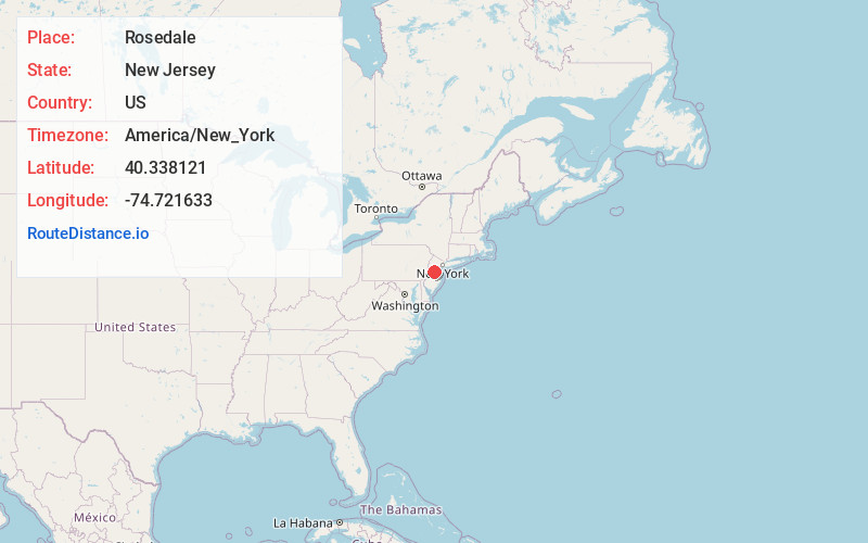
Full AddressRosedale, NJ 08540
-
Coordinates40.3381214, -74.7216329
-
NeighborhoodRosedale
-
LocationRosedale , New Jersey , US
-
TimezoneAmerica/New_York
-
Current Local Time9:41:19 PM America/New_YorkTuesday, June 3, 2025
-
Page Views0
About Rosedale
Rosedale is an unincorporated community located within Lawrence Township in Mercer County, in the U.S. state of New Jersey. The community is centered on the intersection of Carter Road and Rosedale Road. Educational Testing Service's headquarters are located in the northeastern quadrant of the intersection.
Nearby Places
Found 10 places within 50 miles

Mt Rose
2.3 mi
3.7 km
Mt Rose, Hopewell Township, NJ 08540
Get directions
Lewisville
3.4 mi
5.5 km
Lewisville, Lawrence Township, NJ 08648
Get directions

Princeton
3.5 mi
5.6 km
Princeton, NJ
Get directions

Glenmoore
3.9 mi
6.3 km
Glenmoore, Hopewell Township, NJ 08525
Get directions

Hopewell
4.1 mi
6.6 km
Hopewell, NJ 08525
Get directions

Pennington
4.1 mi
6.6 km
Pennington, NJ 08534
Get directions

West Windsor Township
4.4 mi
7.1 km
West Windsor Township, NJ
Get directions

Lawrence Township
4.6 mi
7.4 km
Lawrence Township, NJ
Get directions

Ewing Township
5.2 mi
8.4 km
Ewing Township, NJ
Get directions
Heath Manor
5.9 mi
9.5 km
Heath Manor, Ewing Township, NJ 08638
Get directions
Location Links
Local Weather
Weather Information
Coming soon!
Location Map
Static map view of Rosedale, New Jersey
Browse Places by Distance
Places within specific distances from Rosedale
Short Distances
Long Distances
Click any distance to see all places within that range from Rosedale. Distances shown in miles (1 mile ≈ 1.61 kilometers).