Distance to Rosedale, Nebraska

Calculating Your Route
Just a moment while we process your request...
Location Information
-
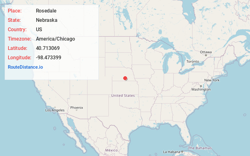
Full AddressRosedale, South Platte Township, NE 68832
-
Coordinates40.7130691, -98.4733985
-
LocationSouth Platte Township , Nebraska , US
-
TimezoneAmerica/Chicago
-
Current Local Time6:07:47 AM America/ChicagoFriday, June 13, 2025
-
Page Views0
Nearby Places
Found 10 places within 50 miles

Hansen
5.5 mi
8.9 km
Hansen, NE 68901
Get directions
Prosser
5.7 mi
9.2 km
Prosser, NE 68883
Get directions

Doniphan
6.8 mi
10.9 km
Doniphan, NE 68832
Get directions
Hayland
6.8 mi
10.9 km
Hayland, NE 68955
Get directions
Juniata
8.7 mi
14.0 km
Juniata, NE 68955
Get directions
Ingleside
9.3 mi
15.0 km
Ingleside, NE 68901
Get directions

Hastings
9.8 mi
15.8 km
Hastings, NE
Get directions

Wood River
10.0 mi
16.1 km
Wood River, NE 68883
Get directions

Alda
10.8 mi
17.4 km
Alda, NE 68810
Get directions
Trumbull
10.8 mi
17.4 km
Trumbull, NE 68980
Get directions
Location Links
Local Weather
Weather Information
Coming soon!
Location Map
Static map view of Rosedale, Nebraska
Browse Places by Distance
Places within specific distances from Rosedale
Short Distances
Long Distances
Click any distance to see all places within that range from Rosedale. Distances shown in miles (1 mile ≈ 1.61 kilometers).