Distance to Roselms, Ohio

Calculating Your Route
Just a moment while we process your request...
Location Information
-
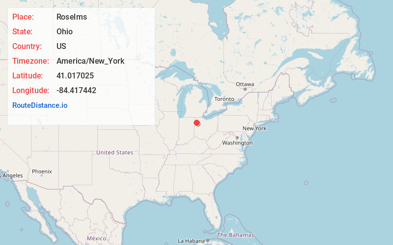
Full AddressRoselms, OH 45849
-
Coordinates41.0170249, -84.417442
-
LocationRoselms , Ohio , US
-
TimezoneAmerica/New_York
-
Current Local Time3:09:29 PM America/New_YorkWednesday, May 28, 2025
-
Page Views0
About Roselms
Roselms is an unincorporated community in southwestern Washington Township, Paulding County, Ohio, United States, in the northwestern part of the state. It lies along State Route 114 midway between Grover Hill and Mandale, about 3 miles from each.
Nearby Places
Found 10 places within 50 miles

Grover Hill
3.1 mi
5.0 km
Grover Hill, OH
Get directions
Melrose
5.2 mi
8.4 km
Melrose, OH
Get directions
Cloverdale
5.9 mi
9.5 km
Cloverdale, OH 45827
Get directions
Dupont
6.5 mi
10.5 km
Dupont, OH
Get directions
Fort Brown
6.6 mi
10.6 km
Fort Brown, Brown Township, OH 45873
Get directions

Ottoville
7.1 mi
11.4 km
Ottoville, OH 45844
Get directions

Broughton
7.9 mi
12.7 km
Broughton, OH 45879
Get directions

Haviland
8.5 mi
13.7 km
Haviland, OH 45851
Get directions
Scott
8.9 mi
14.3 km
Scott, OH 45886
Get directions
Continental
9.8 mi
15.8 km
Continental, OH 45831
Get directions
Location Links
Local Weather
Weather Information
Coming soon!
Location Map
Static map view of Roselms, Ohio
Browse Places by Distance
Places within specific distances from Roselms
Short Distances
Long Distances
Click any distance to see all places within that range from Roselms. Distances shown in miles (1 mile ≈ 1.61 kilometers).