Distance to Roses Mill, Virginia

Calculating Your Route
Just a moment while we process your request...
Location Information
-
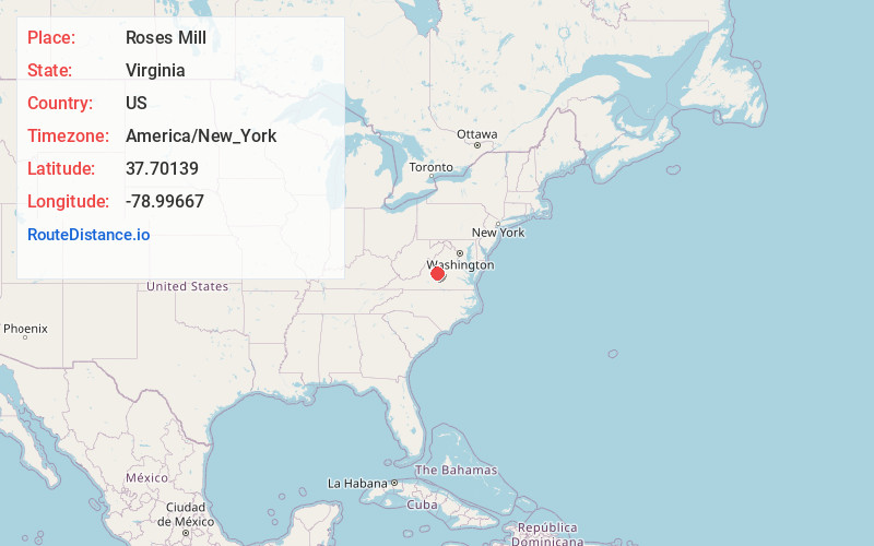
Full AddressRoses Mill, VA 22922
-
Coordinates37.70139, -78.99667
-
LocationRoses Mill , Virginia , US
-
TimezoneAmerica/New_York
-
Current Local Time11:00:45 AM America/New_YorkMonday, June 23, 2025
-
Page Views0
About Roses Mill
Roses Mill is an unincorporated community in Nelson County, Virginia, United States. It lies along the path of the now-defunct Virginia Blue Ridge Railway.
Nearby Places
Found 10 places within 50 miles

Piney River
1.5 mi
2.4 km
Piney River, VA 22964
Get directions

Roseland
3.4 mi
5.5 km
Roseland, VA 22967
Get directions

Lowesville
3.9 mi
6.3 km
Lowesville, VA 22967
Get directions

New Glasgow
5.1 mi
8.2 km
New Glasgow, VA 24521
Get directions

Arrington
5.4 mi
8.7 km
Arrington, VA 22922
Get directions
Buffalo Hill
6.2 mi
10.0 km
Buffalo Hill, VA 24521
Get directions
Monitor
7.5 mi
12.1 km
Monitor, VA 24521
Get directions
Lovingston
8.0 mi
12.9 km
Lovingston, VA 22949
Get directions

Amherst
8.6 mi
13.8 km
Amherst, VA 24521
Get directions
Shipman
8.7 mi
14.0 km
Shipman, VA 22971
Get directions
Location Links
Local Weather
Weather Information
Coming soon!
Location Map
Static map view of Roses Mill, Virginia
Browse Places by Distance
Places within specific distances from Roses Mill
Short Distances
Long Distances
Click any distance to see all places within that range from Roses Mill. Distances shown in miles (1 mile ≈ 1.61 kilometers).