Distance to Rosette, Utah

Calculating Your Route
Just a moment while we process your request...
Location Information
-
Full AddressRosette, UT 84329
-
Coordinates41.8185306, -113.4130548
-
LocationRosette , Utah , US
-
TimezoneAmerica/Denver
-
Current Local Time10:25:07 PM America/DenverFriday, June 20, 2025
-
Page Views0
About Rosette
Rosette is an unincorporated ranching community in northwestern Box Elder County, Utah, United States.


Nearby Places
Found 10 places within 50 miles

Park Valley
4.3 mi
6.9 km
Park Valley, UT 84329
Get directions

Yost
11.8 mi
19.0 km
Yost, UT 83342
Get directions

Standrod
12.1 mi
19.5 km
Standrod, UT 83342
Get directions

Hardup
14.5 mi
23.3 km
Hardup, UT 84329
Get directions
Naf
14.8 mi
23.8 km
Naf, ID 83342
Get directions
Cedar Creek
16.6 mi
26.7 km
Cedar Creek, UT 83342
Get directions

Strevell
16.8 mi
27.0 km
Strevell, ID 83342
Get directions
Matlin
18.1 mi
29.1 km
Matlin, UT
Get directions
Almo
22.5 mi
36.2 km
Almo, ID
Get directions

Grouse Creek
25.4 mi
40.9 km
Grouse Creek, UT 84313
Get directions
Location Links
Local Weather
Weather Information
Coming soon!
Location Map
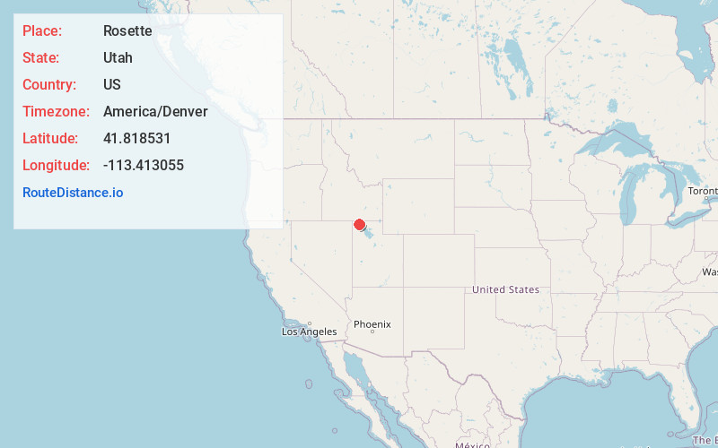
Static map view of Rosette, Utah
Browse Places by Distance
Places within specific distances from Rosette
Short Distances
Long Distances
Click any distance to see all places within that range from Rosette. Distances shown in miles (1 mile ≈ 1.61 kilometers).