Distance to Rothbury, Michigan

Calculating Your Route
Just a moment while we process your request...
Location Information
-
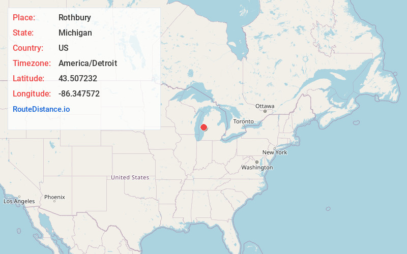
Full AddressRothbury, MI
-
Coordinates43.5072317, -86.3475717
-
LocationRothbury , Michigan , US
-
TimezoneAmerica/Detroit
-
Current Local Time3:49:46 PM America/DetroitFriday, June 13, 2025
-
Page Views0
About Rothbury
Rothbury is a general law village in Grant Township, Oceana County in the U.S. state of Michigan. The population was 486 at the 2010 census.


Nearby Places
Found 10 places within 50 miles

New Era
3.6 mi
5.8 km
New Era, MI 49446
Get directions

Montague
6.3 mi
10.1 km
Montague, MI
Get directions

Whitehall
6.7 mi
10.8 km
Whitehall, MI 49461
Get directions

Shelby
7.1 mi
11.4 km
Shelby, MI 49455
Get directions

Lakewood Club
10.2 mi
16.4 km
Lakewood Club, MI 49457
Get directions

Hart
13.2 mi
21.2 km
Hart, MI
Get directions

Twin Lake
13.6 mi
21.9 km
Twin Lake, MI 49457
Get directions

Hesperia
16.0 mi
25.7 km
Hesperia, MI 49421
Get directions

North Muskegon
17.8 mi
28.6 km
North Muskegon, MI 49445
Get directions

Pentwater
19.4 mi
31.2 km
Pentwater, MI 49449
Get directions
Location Links
Local Weather
Weather Information
Coming soon!
Location Map
Static map view of Rothbury, Michigan
Browse Places by Distance
Places within specific distances from Rothbury
Short Distances
Long Distances
Click any distance to see all places within that range from Rothbury. Distances shown in miles (1 mile ≈ 1.61 kilometers).